Capo Mele, Mediterranean promontory between Andora and Laigueglia, Italy
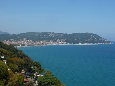
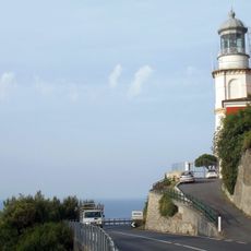
Capo Mele is a rocky promontory on the Ligurian coast, situated between the towns of Andora and Laigueglia. Its eastern face drops steeply toward the sea, while the western side slopes more gently, and a lighthouse stands at the tip of the headland.
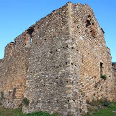
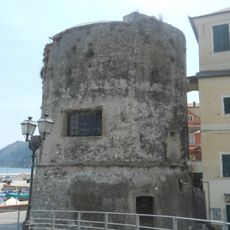
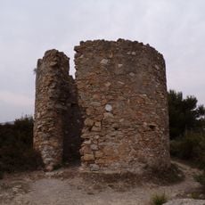
The headland was once called Capo delle Mole, a name that refers to the windmills that used to stand along its ridge. Those mills served the surrounding villages during the medieval period and gave the cape its identity for centuries.
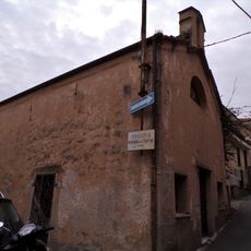
The village of Colla Micheri, perched on the ridge, was the home of Norwegian explorer Thor Heyerdahl for many years. Walking through the village today, you can still see the stone house where he lived.
Footpaths cross the headland and offer views along the coast in both directions, so it helps to know roughly where you want to go before setting out. Some sections are steep and can get slippery after rain, so sturdy shoes make the walk easier.
A weather station on the headland collects data used for maritime navigation along the western Ligurian coast. Sailors and fishermen in the area have relied on readings from this station for decades.
The community of curious travelers
AroundUs brings together thousands of curated places, local tips, and hidden gems, enriched daily by 60,000 contributors worldwide.