Enable Location

We need your location to show you interesting places around you

Discover nearby places

Find interesting locations and hidden gems around you

Precise directions

Get accurate directions and distances to places

Your location is never shared with other users. It's only used when you tap the location button.

Mont Avic

Log in to your account

Start exploring — it's free

Trusted by 61,473 travelers worldwide

Continue with Google
Continue with Apple
or

We will send you a code to connect

By continuing, you accept our Terms and Conditions and our Privacy Policy

Check your inbox

We've sent a pincode in your inbox. Please enter the code below.

Mont Avic

Mont Avic, Alpine summit in Aosta Valley, Italy

Description

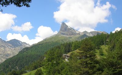
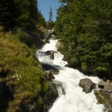
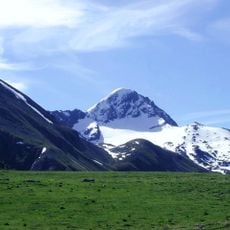
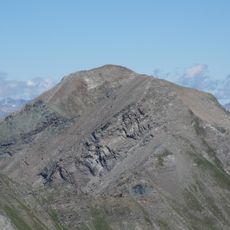
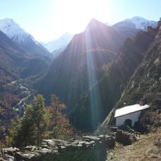
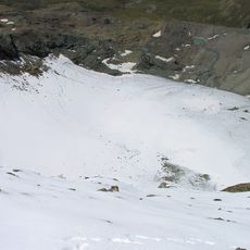
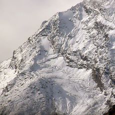
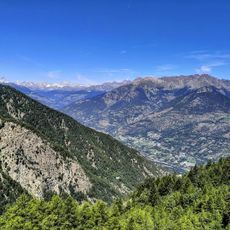
Mont Avic rises to 3,006 meters in the Graian Alps with steep slopes crossed by marked trails that guide visitors upward. The terrain features lakes, wetlands, and extensive forests of mountain pine covering roughly one-third of its area.

History

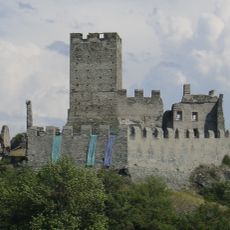
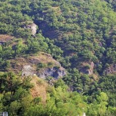
The mountain's first documented ascent occurred in 1875, establishing its place in Alpine climbing records. Nearly a century later, the area became a protected natural park to safeguard its distinctive environment.

Culture

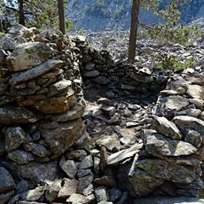
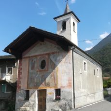
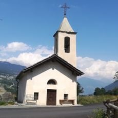
Mont Avic Natural Park has enabled traditional pastoral activities to continue on its slopes, where sheep farming remains visible during the seasons when herds move across the mountain. This coexistence of conservation and rural life shapes how the mountain looks and functions today.

Practical

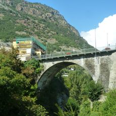
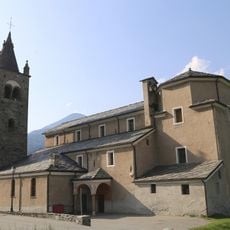
The mountain is reached via the A5 motorway, exiting at Verres and following SS26 toward Aosta before taking regional roads to base villages like Champdepraz or Champorcher. Plan for variable mountain weather and wear sturdy footwear with layers, as conditions change quickly at altitude.

Did you know?

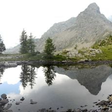
The high plateau hosts more than 70 small lakes and mountain ponds scattered across the terrain, offering unexpected moments of reflection during the hike. These water features are habitats that become increasingly rare in Alpine zones.

Location
Elevation above the sea
3,006 m
GPS coordinates
45.67678,7.55512
Latest update
December 12, 2025 14:23

AroundUs brings together thousands of curated places, local tips, and hidden gems, enriched daily by 60,000 contributors worldwide. Discover all places nearby (Aosta Valley).

« Mont Avic - Alpine summit in Aosta Valley, Italy » is provided by Around Us (aroundus.com). Images and texts are derived from Wikimedia project under a Creative Commons license. You are allowed to copy, distribute, and modify copies of this page, under the conditions set by the license, as long as this note is clearly visible.

Discover hidden gems everywhere you go!

From secret cafés to breathtaking viewpoints, skip the crowded tourist spots and find places that match your style. Our app makes it easy with voice search, smart filtering, route optimization, and insider tips from travelers worldwide. Download now for the complete mobile experience.

Around Us App Screenshot

A unique approach to discovering new places

Le Figaro

All the places worth exploring

France Info

A tailor-made excursion in just a few clicks

20 Minutes

Around Us
Travel Guide & Maps
Download

Send to your phone

QR Code
1

Open the camera app on your mobile.

2

Point at the QR code with your camera. A notification will appear.

3

Tap the notification to open the link.