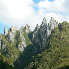
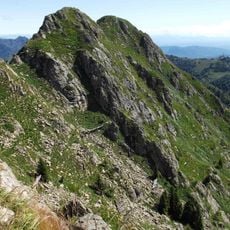
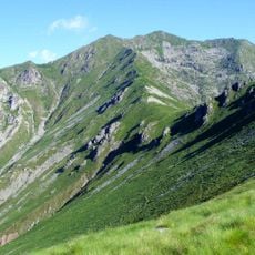
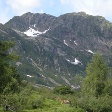
Cima d'Ometto, Mountain summit in Piedmont, Italy.
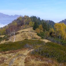
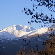
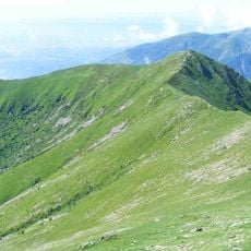
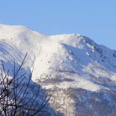
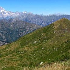
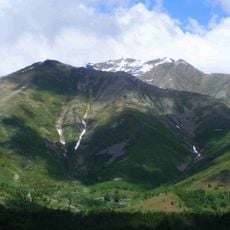
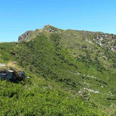
Cima d'Ometto is a 1,911 m summit in the Biellese Alps on the watershed between Valsesia and Valle Sessera. Three ridges meet at the top: the eastern one drops to a 1,702 m saddle before rising to Colma dei Lavaggi and Monte Camparient (1,739 m), the western one links to Testone delle Tre Alpi via Bocchetta delle Varalle, and a short northern spur ends at Monte Ovago (1,764 m). A metal cross stands on a stone base at the summit.
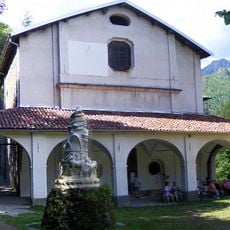
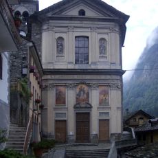
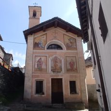
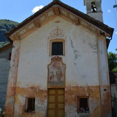
The area preserves traces of ancient mule paths that once served as important trade routes through the mountains. A historical settlement called Alpe Dughera at around 950 meters altitude shows frescoes that document local artistic traditions.
Local communities in the Valsesia region use this mountain for traditional alpine farming and maintain a network of marked paths. These practices connect people to their landscape through skills passed down through generations.
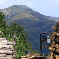
The summit is reached on foot via trail 236 from Alpe di Mera, which can be reached by asphalt road or by a chairlift from Scopello that also runs in summer. The path passes a small lake and then gains the Sesia/Sessera ridge, approaching the top from the east. A longer alternative goes through the Bocchetta della Boscarola, an E-rated hiking route.
A geodetic survey marker designated IGM 030156 marks the highest point of this peak. A tall stone monument topped with a metal cross gives hikers a distinctive landmark and serves as a navigation aid.
The community of curious travelers
AroundUs brings together thousands of curated places, local tips, and hidden gems, enriched daily by 94,606 contributors worldwide.