Morgenkofel, Mountain summit in South Tyrol, Italy
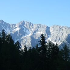
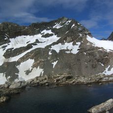
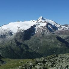
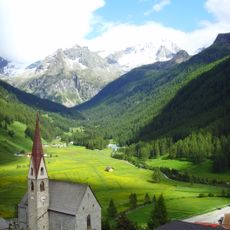
Morgenkofel (3,073 m) is a peak in the western Rieserferner Group, immediately north of the Mühlbacher Jöchl (2,983 m), the pass between the Mühlbach valley and the Gelltal. To the south and east it drops in steep rock faces, while its west flank is gentler; from the southwest it appears as a broad rock ridge dominating the valley head.
The sources document no historical events specific to the Morgenkofel; the summit appears only in mountaineering literature, such as Werner Beikircher's Rieserfernergruppe guide published by Bergverlag Rother in 1983. The mountain lies in the Rieserferner Group, whose whole area is protected within the Naturpark Rieserferner-Ahrn. Its Italian name, Cima Mattina, appears alongside the German form on maps such as the Tabacco sheet 035 at 1:25,000.
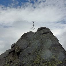
The summit carries a cross at the top, a marker hikers reach on the marked route. The mountain lies within the Rieserferner-Ahrn Nature Park, and its Italian name, Cima Mattina, sits alongside the German Morgenkofel on maps and signs. The starting point above Mühlbach belongs to the municipality of Gais in the Ahrntal.
Hikers reach the summit via paths starting from the Rieserfernerhütte, a mountain refuge located in the valley below. The route demands good fitness and mountain experience, with sections that are steep and exposed.
The summit cross on Morgenkofel is reached by a marked route that leaves the main Mühlbach valley path at about 2,550 m and crosses the mountain's west flank. The peak rises 3,073 m, while the Schwarze Wand across the Mühlbacher Jöchl is 3,105 m.
The community of curious travelers
AroundUs brings together thousands of curated places, local tips, and hidden gems, enriched daily by 93,896 contributors worldwide.