Pointe de la Louïe Blanche, Mountain summit in Montvalezan, France.
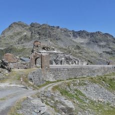
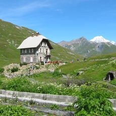
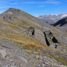
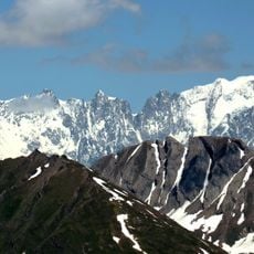
Pointe de la Louïe Blanche is a mountain summit in the Graian Alps that rises to approximately 2,939 meters and marks the natural border between France and Italy. The peak can be approached from routes on both sides, each offering different geological features and terrain.
The peak became established as a border marker between France and Italy during the period when alpine regions were divided and borders were drawn between nations. This geographical demarcation has remained significant in defining the relationship between the two countries in this mountain zone.
The summit sits where French Savoyard and Italian mountain traditions meet, creating a place where two different ways of alpine life come together. Visitors can feel how the border shapes the landscape and the people who live near it.
Reaching this summit requires solid alpine skills, good weather conditions, and proper climbing gear including ropes and protective equipment. It is important to plan your route carefully and check current conditions before attempting the climb.
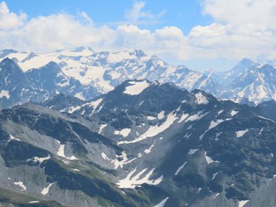
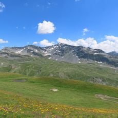
The Italian side displays glacial formations and snowfields, while the French side reveals rocky and stony terrain that stands in sharp contrast. This dramatic difference in geology and microclimate makes the border transition immediately obvious to anyone standing at the top.
The community of curious travelers
AroundUs brings together thousands of curated places, local tips, and hidden gems, enriched daily by 60,000 contributors worldwide.