Chest opened
+${chestReward.xp} XP
Explorer
NOUVEAU ×${chestReward.collectible.quantity}
tapez pour fermer

See the monuments around you in AR Open chests in the app

Around Us is built for your phone — point your camera at the streets and discover the monuments and places around you in augmented reality. Around Us is built for your phone — chests unlock when you walk, explore and capture nearby places.

•

Enable Location

We need your location to show you interesting places around you

Discover nearby places

Find interesting locations and hidden gems around you

Precise directions

Get accurate directions and distances to places

Your location is never shared with other users. It's only used when you tap the location button.

Usui Pass

Log in to your account

Start exploring — it's free

Trusted by 92,915 travelers worldwide

Continue with Google
Continue with Apple
or

We will send you a code to connect

By continuing, you accept our Terms and Conditions and our Privacy Policy

Check your inbox

We've sent a pincode in your inbox. Please enter the code below.

Usui Pass

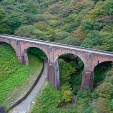
Usui Pass, Mountain pass between Nagano and Gunma Prefecture, Japan

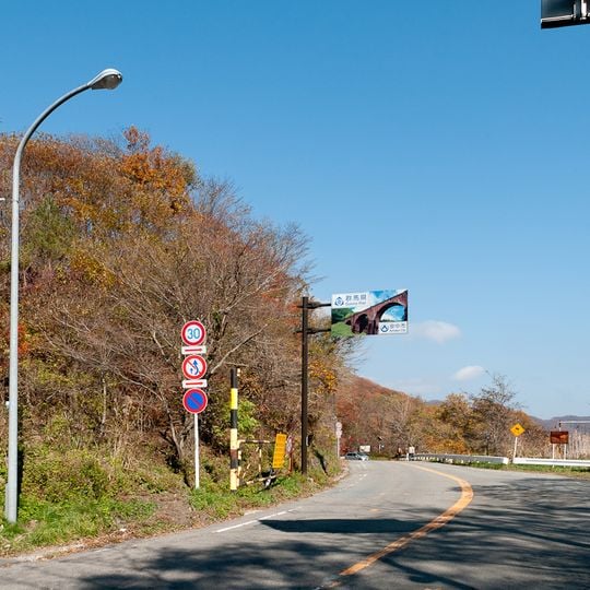
Usui Pass is a mountain crossing between Nagano and Gunma prefectures that sits at an elevation of 956 meters (3136 feet) and links the resort area of Karuizawa with the Kanto plain. The road winds through forested slopes with curves that define the character of the route and open views across the surrounding landscape.

The crossing was part of the ancient Tosando road system that carried travelers between regions for centuries. It appears in the Nihon Shoki chronicles in connection with the legend of Yamato Takeru, who traversed the area on a mythical journey.

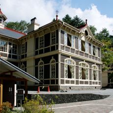
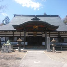
Kumano Kotai Shrine (Kumano Kotai-jinja) stands at the pass summit, and its bell inscription of 1292 (Shōō 5) indicates the road through this point was open by then. The shrine is also called Usui Tōge Kumano-jinja, and the old Nakasendō route passed it.

The old National Route 18 over the pass, about 11 km long, was closed for several months as of 2024 after a landslip between Karuizawa and Kumadaira. The bypass and the Joshinetsu Expressway offer faster, safer crossings. The old Nakasendo route is maintained as a hiking course.

The old National Route 18 through the pass has 184 curves over about 11 km, more than the Nürburgring's 172 over roughly 20 km. The road appears in the manga Initial D as the home course of Team Impact Blue, and drift racer Keiichi Tsuchiya has used it for tyre testing.

The community of curious travelers

AroundUs brings together thousands of curated places, local tips, and hidden gems, enriched daily by 92,915 contributors worldwide.

Start exploring
Location
Location
Elevation above the sea
956 m
GPS coordinates
36.34460,138.65100
Latest update
October 22, 2026 18:24
Reviews
Share your experience

No review yet

Discussions
Start a discussion...

No discussion yet

« Usui Pass - Mountain pass between Nagano and Gunma Prefecture, Japan » is provided by Around Us (aroundus.com). Images and texts are derived from Wikimedia project under a Creative Commons license. You are allowed to copy, distribute, and modify copies of this page, under the conditions set by the license, as long as this note is clearly visible.

Discover hidden gems everywhere you go!

From secret cafés to breathtaking viewpoints, skip the crowded tourist spots and find places that match your style. Our app makes it easy with voice search, smart filtering, route optimization, and insider tips from travelers worldwide. Download now for the complete mobile experience.
Around Us App Screenshot
❝

A unique approach to discovering new places❞

— Le Figaro

❝

All the places worth exploring❞

— France Info

❝

A tailor-made excursion in just a few clicks❞

— 20 Minutes

Around Us
Travel Guide & Maps
Download

Send to your phone

QR Code
1

Open the camera app on your mobile.

2

Point at the QR code with your camera. A notification will appear.

3

Tap the notification to open the link.