
Anan, town in Shimoina district, Nagano prefecture, Japan
Location: Nagano Prefecture
Location: Shimoina district
Inception: July 1, 1957
Website: http://www.town.anan.nagano.jp/
Shares border with: Urugi, Shimojo, Tenryu, Achi, Hiraya, Yasuoka, Toyone
Website: http://town.anan.nagano.jp
GPS coordinates: 35.32358,137.81614
Latest update: March 31, 2025 09:01


Mount Ena
23.9 km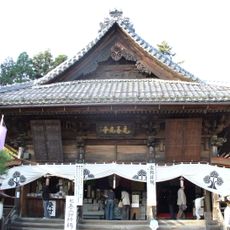
Motozenkō-ji
23.7 km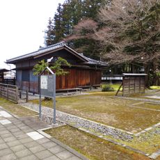
Iida Castle
21 km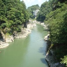
Tenryū-kyō
13 km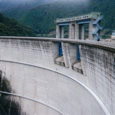
Shintoyone Dam
22.6 km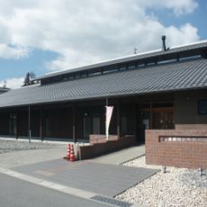
Memorial Museum for Agricultural Emigrants to Manchuria
14.5 km
Achi Shrine
17.4 km
Chausuyama Plateau
17.9 km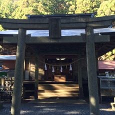
Yamazumi Shrine
22.8 km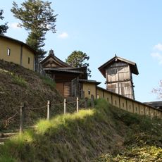
Takane Castle
19.9 km
Iida City Museum
21 km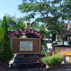
Iida City Zoo
21.2 km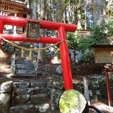
足神神社
12.1 km
Iida City Kawamoto Kihachiro Puppet Museum
21.3 km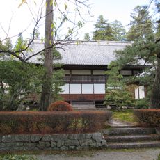
開善寺 (飯田市)
15.4 km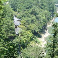
Tenryūkyō Onsen
13.2 km
Shinano Hiei Kōjōin
20.3 km
Misaka Shrine
21.4 km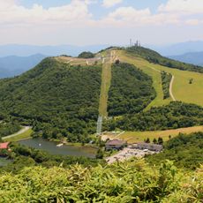
Mount Hagitaro
18.9 km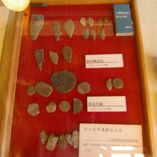
Misaka Pass Ruins
23.4 km
Shoei-ji
21.7 km
Misakubo Folk Museum
18.1 km
Komyo-ji (Iida, Nagano)
17.4 km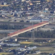
阿島橋 (天竜川)
22.6 km
Shimojo Village Library
8.3 km
黄梅院
21.6 km
アストロボウル
21.3 km
Iida City Central Library
21.1 kmReviews
Visited this place? Tap the stars to rate it and share your experience / photos with the community! Try now! You can cancel it anytime.
Discover hidden gems everywhere you go!
From secret cafés to breathtaking viewpoints, skip the crowded tourist spots and find places that match your style. Our app makes it easy with voice search, smart filtering, route optimization, and insider tips from travelers worldwide. Download now for the complete mobile experience.

A unique approach to discovering new places❞
— Le Figaro
All the places worth exploring❞
— France Info
A tailor-made excursion in just a few clicks❞
— 20 Minutes