Kamitonda, town in Nishimuro district, Wakayama prefecture, Japan
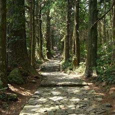
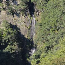
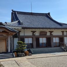
Kamitonda is a small town in southern Wakayama Prefecture, part of the Nishimuro district. It has a simple layout with narrow roads, traditional Japanese houses, agricultural fields for rice and vegetables, and small rivers running through the area that create a peaceful environment.
Kamitonda was officially formed in 1956 when several smaller communities merged together. The region has a long history of farming and has always been a passage and trading area between different parts of the prefecture.
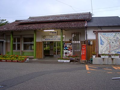
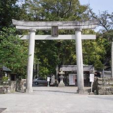
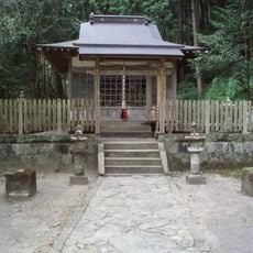
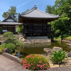
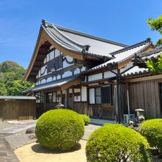
The name Kamitonda reflects its local origins and geographic significance in the region. When visiting, you can see traditional wooden houses with tiled roofs, small shrines important to the community, and local markets where neighbors gather and sell fresh produce.
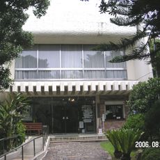
The town has good local infrastructure with a town office and is easily accessible by public transportation. Roads are well maintained, many people use bicycles or walk for short distances, and it is easy to explore the quiet area.
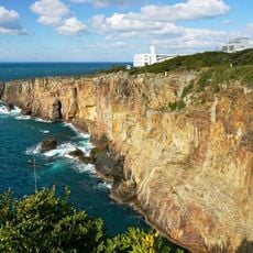
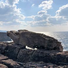
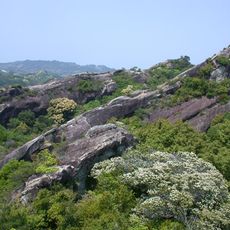
The place is known as a gateway for exploring nearby famous attractions in the prefecture, such as the beaches and hot springs of Shirahama. This makes it a practical and less touristy entry point to the region.
The community of curious travelers
AroundUs brings together thousands of curated places, local tips, and hidden gems, enriched daily by 60,000 contributors worldwide.