Enable Location

We need your location to show you interesting places around you

Discover nearby places

Find interesting locations and hidden gems around you

Precise directions

Get accurate directions and distances to places

Your location is never shared with other users. It's only used when you tap the location button.

Naka-ku

Log in to your account

Start exploring — it's free

Trusted by 62,009 travelers worldwide

Continue with Google
Continue with Apple
or

We will send you a code to connect

By continuing, you accept our Terms and Conditions and our Privacy Policy

Check your inbox

We've sent a pincode in your inbox. Please enter the code below.

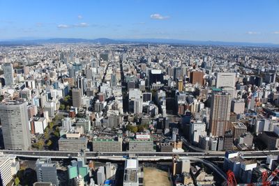
Naka-ku, Administrative ward in central Nagoya, Japan

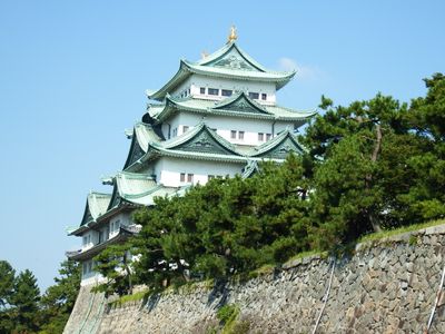
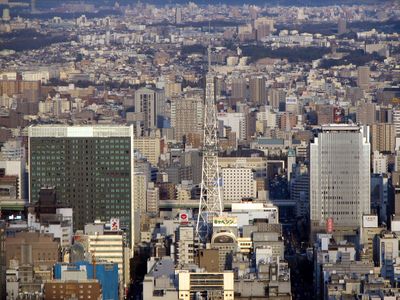
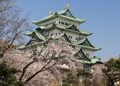
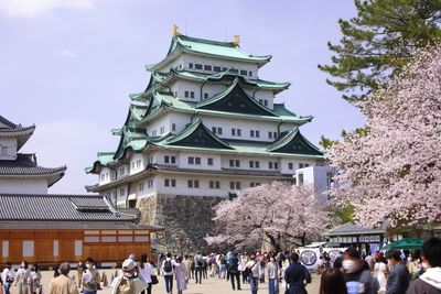
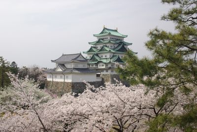
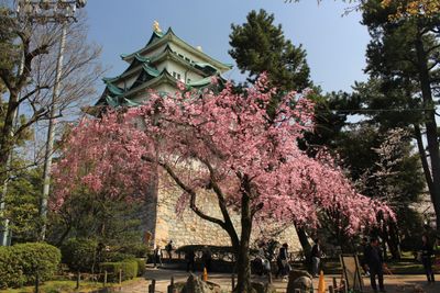
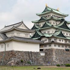
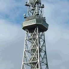
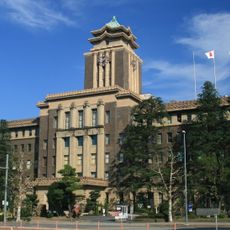
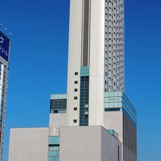
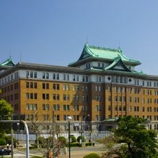
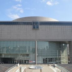
Naka-ku is the central ward of Nagoya with mixed residential and commercial areas, home to Nagoya Castle, Nagoya TV Tower, the City Science Museum, and City Art Museum. Several subway lines run through the area, connecting different parts of the city.

The ward was established in 1908 as one of Nagoya's original four districts and suffered heavy damage during World War II. Postwar reconstruction introduced a grid pattern street layout that shapes the area today.

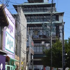
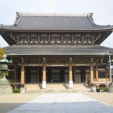
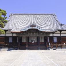
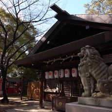
The Osu district draws people with covered shopping streets lined with restaurants and shops, while the Osu Kannon temple hosts regular flea markets. Visitors see a mix of older family-run stores and newer shops that reflect how locals spend their time here.

The ward is best explored using public transportation, with multiple subway lines offering good connections. Most attractions like the castle and museums are easily reached, and the area is walkable for longer trips.

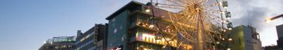
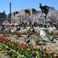
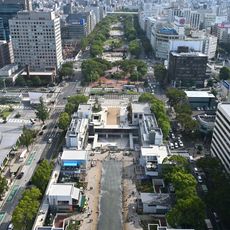
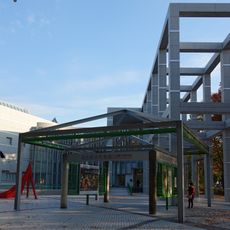
The Sakae district features a 100-meter-wide road with small parks and performance spaces between two four-lane roads. This green corridor creates unexpected open space in the middle of the dense urban area.

The community of curious travelers

AroundUs brings together thousands of curated places, local tips, and hidden gems, enriched daily by 60,000 contributors worldwide.

Start exploring
Location
Shares border with
Atsuta-ku
GPS coordinates
35.16861,136.91028
Latest update
December 17, 2025 09:43
« Naka-ku - Administrative ward in central Nagoya, Japan » is provided by Around Us (aroundus.com). Images and texts are derived from Wikimedia project under a Creative Commons license. You are allowed to copy, distribute, and modify copies of this page, under the conditions set by the license, as long as this note is clearly visible.

Discover hidden gems everywhere you go!

From secret cafés to breathtaking viewpoints, skip the crowded tourist spots and find places that match your style. Our app makes it easy with voice search, smart filtering, route optimization, and insider tips from travelers worldwide. Download now for the complete mobile experience.

Around Us App Screenshot

A unique approach to discovering new places

Le Figaro

All the places worth exploring

France Info

A tailor-made excursion in just a few clicks

20 Minutes

Around Us
Travel Guide & Maps
Download

Send to your phone

QR Code
1

Open the camera app on your mobile.

2

Point at the QR code with your camera. A notification will appear.

3

Tap the notification to open the link.