Tokunoshima, town in Ōshima district, Kagoshima prefecture, Japan
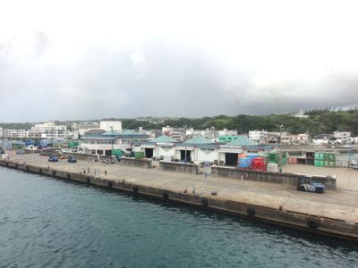
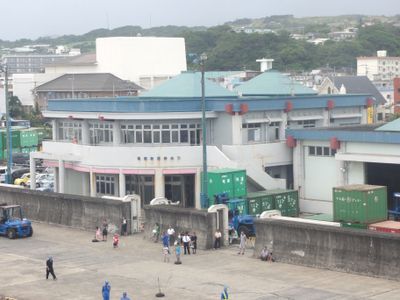
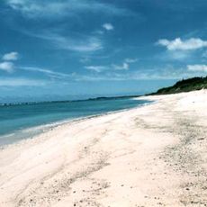
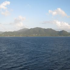
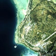
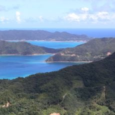
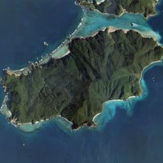
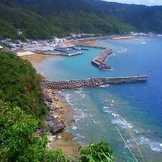
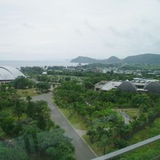
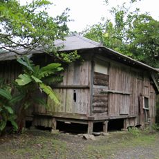
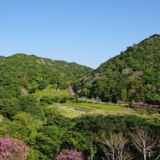
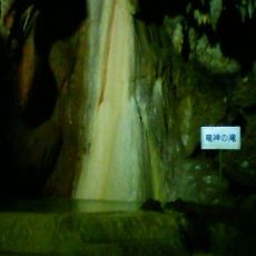
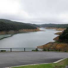
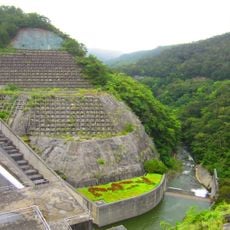
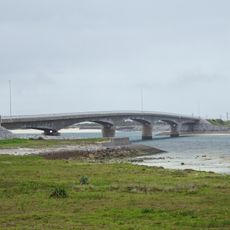
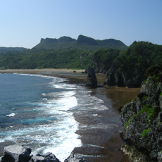
Tokunoshima is a town on an island in Oshima District, made up of several smaller communities with farmland and a rugged coastline shaped by volcanic activity and coral reefs. The landscape features cliffs, rocky formations, and beaches, with forests covering much of the interior and clear waters surrounding the shore.
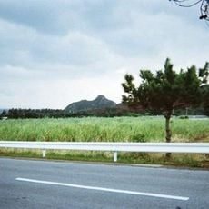
The island developed a strong sugarcane farming tradition and became the leading producer of this crop in Japan. Tokunoshima gained worldwide attention for being home to residents who lived to over 100 years old, and togyu, a bull sumo sport with roots spanning hundreds of years, became central to local identity.
Tokunoshima is known as the island of longevity, where many residents live past 100 years old, shaping how the community views health and daily habits. Local traditions like togyu, a bull sumo event held several times yearly, and shima uta folk songs sung during sugarcane harvest connect people to their land and history in visible, lived ways.
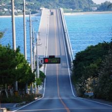
Visitors reach the island by plane and find simple lodging in local guesthouses and converted farms with traditional futons and shared baths. The best way to explore coastal cliffs, beaches, and rocky areas is on foot or by organized tours, which are available year-round for walking trails and water activities.
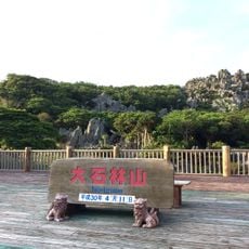
Aze Prince Beach was named in 1969 when Crown Prince Akihito and Princess Michiko visited, creating a lasting mark on local history tied to a royal moment. The Agon ancient banyan tree, over 300 years old, stands as a quiet symbol of the island's enduring strength and provides shade where both locals and visitors pause to rest.
The community of curious travelers
AroundUs brings together thousands of curated places, local tips, and hidden gems, enriched daily by 60,000 contributors worldwide.