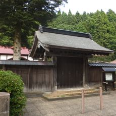
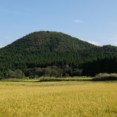
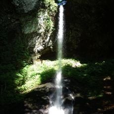
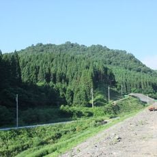
Yamamoto district, district in Akita prefecture, Japan
Location: Akita Prefecture
Inception: December 23, 1878
Shares border with: Odate, Minamiakita District, Kitaakita district, Kitaakita, Oga, Nishitsugaru District, Nakatsugaru District, Noshiro
GPS coordinates: 40.28400,140.26000
Latest update: March 24, 2025 00:51
Shirakami-Sanchi
23.5 km
Ōdate Castle
26 km
Kimimachizaka Prefectural Natural Park
7.2 km
Hiyama Andō Clan Fortified Residence ruins
17.9 km
Henjō-in
26.2 km
Akita Dog Visitor Center
25.1 km
Mount Tashiro
20.4 km
Shirataki-jinja
19.8 km
Kurumidate Site
9.9 km
秋田たかのす農業協同組合
11 km
Akita Prefectural Hokuou-no-mori Park
16.1 km
上小阿仁村立上小阿仁小中学校
25 km
Subari Dam
6.4 km
Noshiro City General Gymnasium
21.2 km
Sugisawadai Site
18 km
Taho-in
18.3 km
あきた北農業協同組合
23.3 km
Jōmyōji
17.8 km
Ōdate City Museum
27.4 km
Arinasu
21.5 km
Mount Moya
13.4 km
日本基督教団大館教会
25.8 km
Chōshi Falls
3.9 km
Noshiro City Children's Museum
21.4 km
Mount Kura
16.6 km
秋田地方検察庁大館支部
25.8 km
能代区検察庁
21.3 km
Isedōtai Site
11.9 kmReviews
Visited this place? Tap the stars to rate it and share your experience / photos with the community! Try now! You can cancel it anytime.
Discover hidden gems everywhere you go!
From secret cafés to breathtaking viewpoints, skip the crowded tourist spots and find places that match your style. Our app makes it easy with voice search, smart filtering, route optimization, and insider tips from travelers worldwide. Download now for the complete mobile experience.
A unique approach to discovering new places❞
— Le Figaro
All the places worth exploring❞
— France Info
A tailor-made excursion in just a few clicks❞
— 20 Minutes