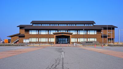
Happo, town in Yamamoto District, Akita Prefecture, Japan
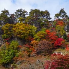
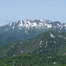
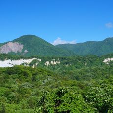
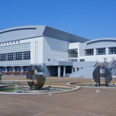
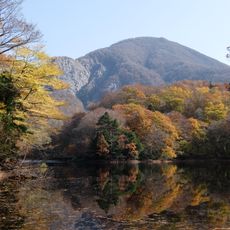
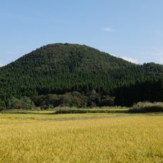
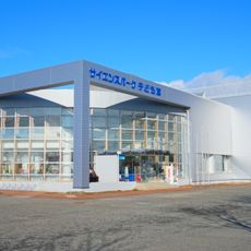
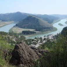
Happō is a small town in the western part of Akita Prefecture, situated among mountains and forests that cover much of the land. The town has quiet streets lined with traditional houses and simple shops where people move about their daily routines at a steady pace.
Happō was officially established in the middle of the last century when several smaller villages merged, though the region has a much longer past. During Japan's Edo period, the area was controlled by the Satake clan, and residents have long lived by fishing and farming, skills passed down through generations.
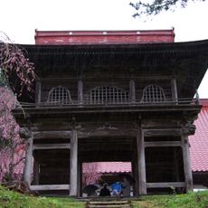
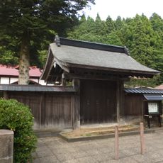
Happō's name connects to the fishing and farming traditions of people who settled here long ago. Today, residents gather at local shrines during festivals wearing traditional clothes, sharing meals, and keeping customs alive through simple celebrations held throughout the year.
Weather in Happō can be quite cold at night during winter with frequent and deep snowfall, while summers are warm and humid. The Gonō Line train connects the town to nearby larger cities, making it easier for visitors to reach the area and travel around.
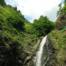
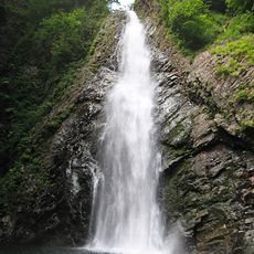
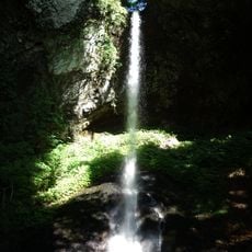
The Takiabi Festival at Shirataki Shrine happens every summer, where men in white robes carry a mikoshi shrine under a tall waterfall to honor old traditions. This ritual evolved after people began cooling off at the waterfall on hot days, turning the water rinsing into a key part of the celebration.
The community of curious travelers
AroundUs brings together thousands of curated places, local tips, and hidden gems, enriched daily by 60,000 contributors worldwide.