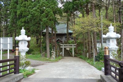
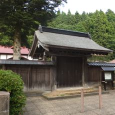
Shirataki-jinja, shrine in Happō, Akita
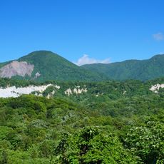
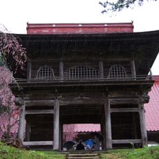
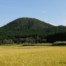
Shirataki-jinja is a small wooden shrine nestled in the forests of Happo in Akita Prefecture, surrounded by tall trees and natural vegetation. The simple structure features a curved traditional roof, stone lanterns along the path, and a welcoming entrance that opens into a calm, well-maintained space for prayer and reflection.
The shrine was established many generations ago and has served the local community as a place of prayer and gathering ever since. Its roots are deeply connected to the area's past, and it continues to play a role in local festivals and spiritual practices through the years.
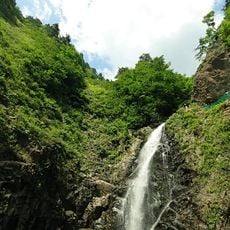
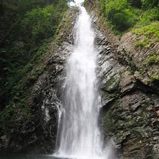
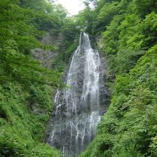
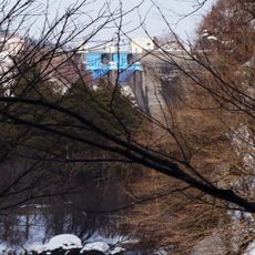
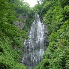
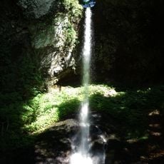
The shrine's name refers to the waterfalls located behind it, connecting the sacred space to the natural features of the area. Visitors can observe locals leaving offerings and performing simple rituals like ringing bells before bowing, showing how faith is woven into daily practice here.
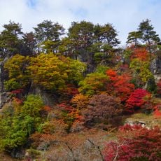
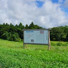
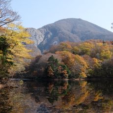
The shrine is easily accessible with free parking available nearby for visitors. You can visit at any time of year, though spring and autumn are popular seasons when the forest scenery and surrounding landscape are at their best.
A distinctive feature is the 17 meter waterfall directly behind the shrine, which creates refreshing mist in summer and freezes into icicles in winter. The annual Mikoshi no Takiabi Festival on August 1st is unique in Japan, as male carriers rush into the waterfall with the portable shrine, getting soaked while praying for good harvests and safe travels.
The community of curious travelers
AroundUs brings together thousands of curated places, local tips, and hidden gems, enriched daily by 60,000 contributors worldwide.