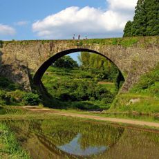
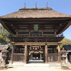
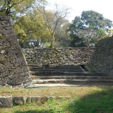
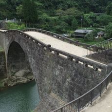
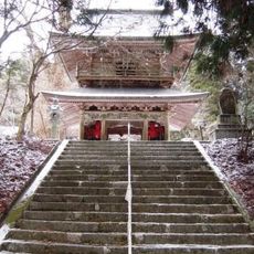
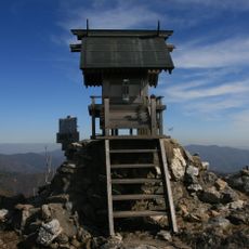
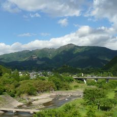
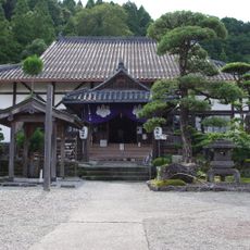
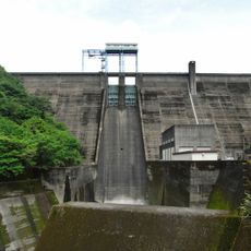
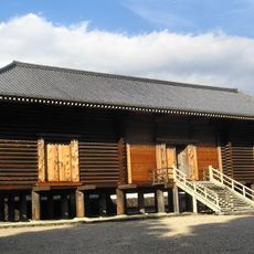
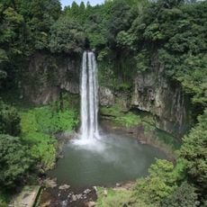
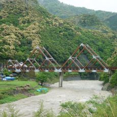
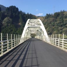
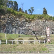
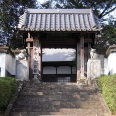
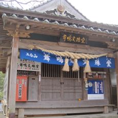
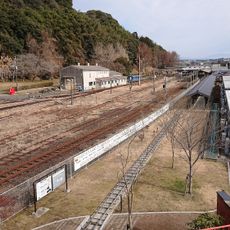
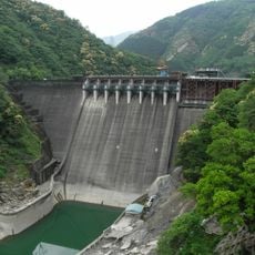
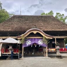
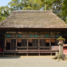
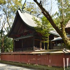
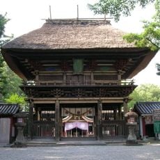
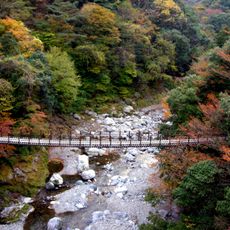
Mizukami, village in Kuma district, Kumamoto prefecture, Japan
Location: Kuma district
Inception: November 1, 1895
Shares border with: Yunomae, Taragi, Itsuki, Shiiba, Nishimera, Yatsushiro
Website: https://vill.mizukami.lg.jp
GPS coordinates: 32.31436,131.00939
Latest update: March 7, 2025 04:01
Tsūjun Bridge
40.9 km
Aoi Aso Shrine
26.6 km
Hitoyoshi Castle
25.6 km
Reidai Bridge
36.9 km
Shakain
32.1 km
Mount Kunimi
25.9 km
Mount Ichifusa
8.6 km
Eikoku-ji
26.6 km
Ichifusa Dam
732 m
Nishi no Shosoin
31.3 km
Gorō Falls
40.8 km
かりこぼうず大橋
18.4 km
Sendan-todoro no Taki
25.7 km
内大臣橋
36.3 km
Yunomae Manga Museum
4.6 km
Ōmura Cave Tombs
26.4 km
Shōzen-in
4.3 km
Mōshigi monju-dō
38.4 km
明導寺
4.9 km
人吉鉄道ミュージアム MOZOCAステーション868
26.7 km
Kamezuka Kofun Group
21.4 km
祇園滝
28.9 km
Tsukabaru Dam
34.6 km
青井阿蘇神社拝殿
26.6 km
青井阿蘇神社幣殿
26.6 km
青井阿蘇神社本殿
26.6 km
青井阿蘇神社楼門
26.6 km
Shin Mominoki Suspension Bridge
21 kmReviews
Visited this place? Tap the stars to rate it and share your experience / photos with the community! Try now! You can cancel it anytime.
Discover hidden gems everywhere you go!
From secret cafés to breathtaking viewpoints, skip the crowded tourist spots and find places that match your style. Our app makes it easy with voice search, smart filtering, route optimization, and insider tips from travelers worldwide. Download now for the complete mobile experience.
A unique approach to discovering new places❞
— Le Figaro
All the places worth exploring❞
— France Info
A tailor-made excursion in just a few clicks❞
— 20 Minutes