Kyogoku, town in Abuta district, Hokkaido, Japan
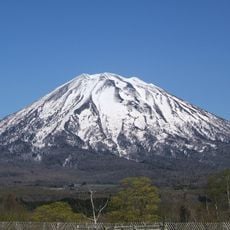
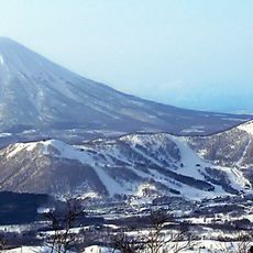
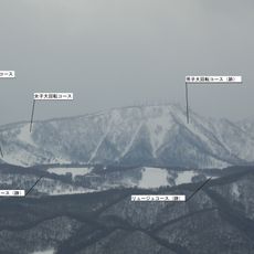
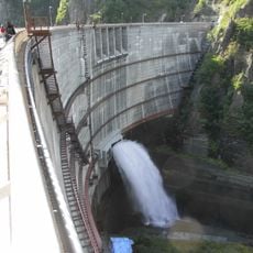
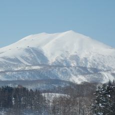
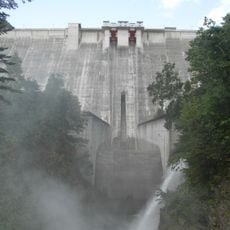
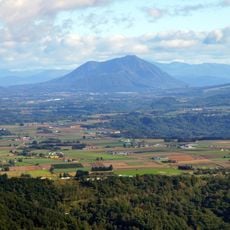
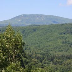
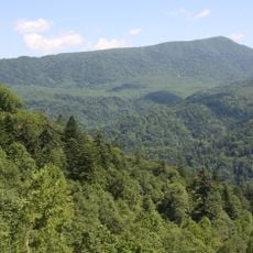
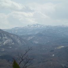
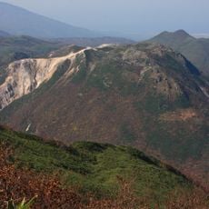
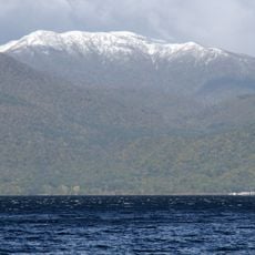
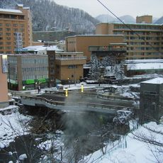
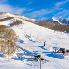
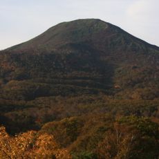
Kyogoku is a small town in Hokkaido's Shiribeshi Subprefecture, situated at the base of the active volcano Mount Yoetei. It sits among several peaks including Mount Muine and Mount Nakadake, with a river flowing from nearby Lake Shikotsu that passes through lush landscape on its way toward the Sea of Japan.
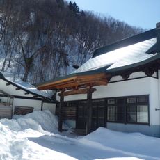
The town was first settled at the end of the 1800s when a noble from the Kyogoku family was granted permission to establish farming there. It grew from a village into an official town in the 1960s as more residents from other parts of Japan moved in and built the community.
The town's name comes from a noble of the Kyogoku family who started settlement there in the 1800s. Farming remains central to daily life, with green fields surrounding the town and residents tending their animals and crops with care through the seasons.
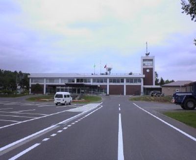
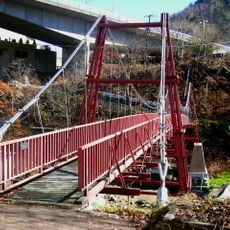
The town is accessible by car or bus via Japan National Route 227, as there is no train service to the area. Most places in town are within walking distance or reachable by bicycle, making it easy to explore at your own pace.
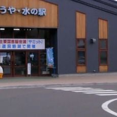
Akira Satō, a ski jumper, comes from this small town, showing that even rural communities can produce athletes who reach national levels. Visitors can collect fresh spring water for free at Fukidashi Park and drink it for its clean taste.
The community of curious travelers
AroundUs brings together thousands of curated places, local tips, and hidden gems, enriched daily by 60,000 contributors worldwide.