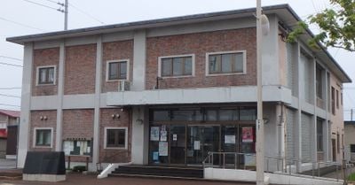
Shosanbetsu, village in Tomamae district, Hokkaido, Japan
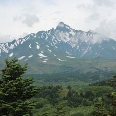
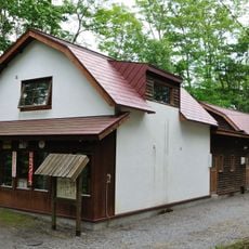
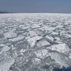
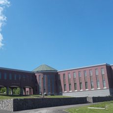
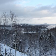
Shosanbetsu is a small coastal village in the Rumoi Subprefecture of northern Hokkaido, set between forested hills and three river systems that flow into the Sea of Japan. The village sits within Tomamae district and covers a stretch of coastline with small harbors alongside farmland where fishing and dairy farming are the main activities.
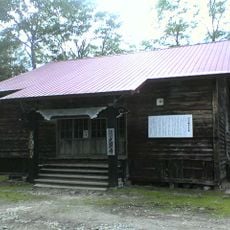
The area appears in written records from 1781 and was officially recognized as a village in 1900. Early growth was closely tied to herring fishing, which drove the construction of small ports and shaped the first permanent settlements along the coast.
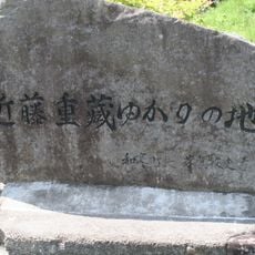
The name Shosanbetsu comes from the Ainu language and is linked to the idea of a waterfall or flowing river, pointing to the people who first lived here. Fishing boats still dock at the village pier, and small shops sell fresh catch directly to locals and passing travelers.
The easiest way to reach the village is by car, as there is no train station, though ferries from nearby towns are another option. Summer and autumn offer better conditions for walking along the coast, while winter snowfall can make roads and trails harder to navigate.
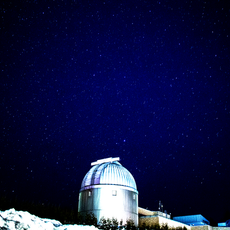
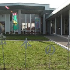
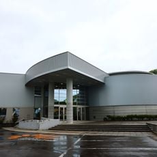
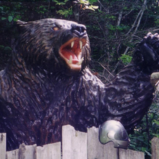
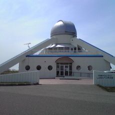
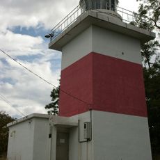
The village has its own observatory that also functions as a small planetarium, along with a mascot named Syosamaru, a bear-like alien figure with star-shaped ears that appears at local events. The observatory draws visitors on clear nights because the surrounding darkness makes the sky especially visible far from city lights.
The community of curious travelers
AroundUs brings together thousands of curated places, local tips, and hidden gems, enriched daily by 60,000 contributors worldwide.