
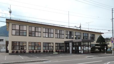
Kimobetsu, town in Abuta district, Hokkaido, Japan
Location: Shiribeshi Subprefecture
Location: Abuta district
Inception: April 1, 1917
Shares border with: Sapporo, Date, Kyogoku, Rusutsu, Makkari
Website: https://town.kimobetsu.hokkaido.jp
GPS coordinates: 42.79542,140.93453
Latest update: May 27, 2025 13:27
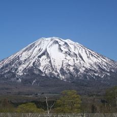
Mount Yōtei
11 km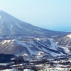
Rusutsu Resort
5.7 km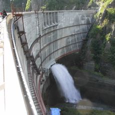
Hoheikyo Dam
22.3 km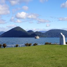
Nakajima
22.6 km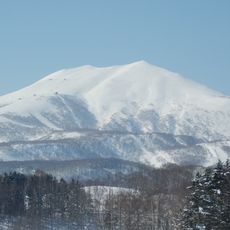
Niseko Hanazono Resort
19.7 km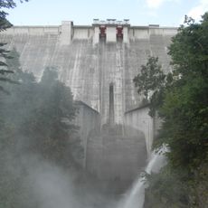
Jōzankei Dam
27.6 km
定山渓熊牧場
22.6 km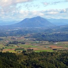
Mount Shiribetsu
3.2 km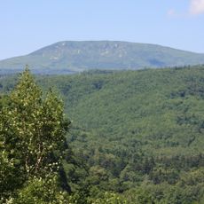
Muine-yama
17.4 km
Sapporo-dake
24.6 km
Soranuma-dake
27.2 km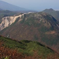
Mount Iwaonupuri
26 km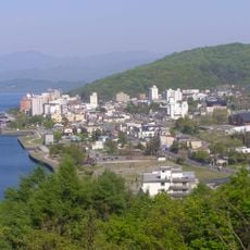
Mount Yosomi
27.4 km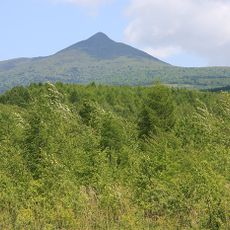
Mount Tokushunbetsu
24.1 km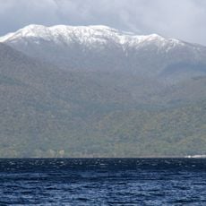
Izari-dake
24.7 km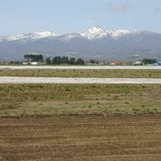
Mount Kombu
24.7 km
とうや水の駅
18.5 km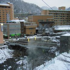
Tsukimi Bridge
26.5 km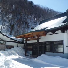
Jōzan-ji
26.6 km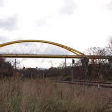
Niseko Bridge
20.8 km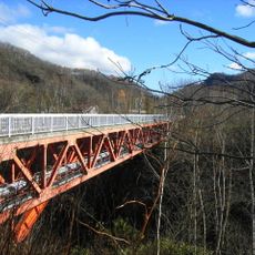
錦橋 (豊平川)
27.7 km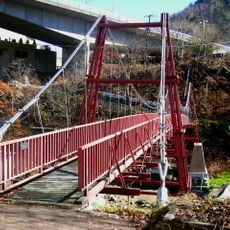
高山橋 (豊平川)
27 km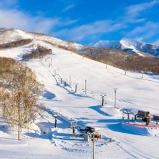
Niseko Moiwa Ski Resort
25.5 km
Shigure Bridge
27.4 km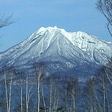
Mount Eniwa
28.7 km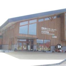
Volcano Science Museum
27.6 km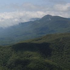
Mount Orofure
28.4 km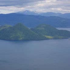
Mount Tōnoshike Nupuri
22.6 kmReviews
Visited this place? Tap the stars to rate it and share your experience / photos with the community! Try now! You can cancel it anytime.
Discover hidden gems everywhere you go!
From secret cafés to breathtaking viewpoints, skip the crowded tourist spots and find places that match your style. Our app makes it easy with voice search, smart filtering, route optimization, and insider tips from travelers worldwide. Download now for the complete mobile experience.

A unique approach to discovering new places❞
— Le Figaro
All the places worth exploring❞
— France Info
A tailor-made excursion in just a few clicks❞
— 20 Minutes