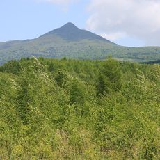
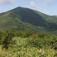
Mount Kombu, Mountain summit in Toyoura, Niseko, Japan
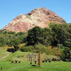
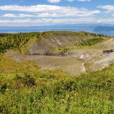
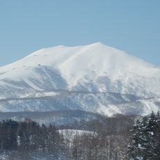
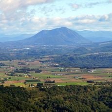
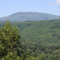
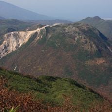
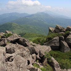
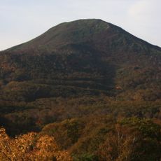
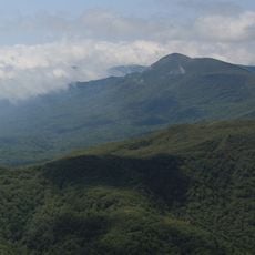
Mount Kombu is a mountain summit in Toyoura near Niseko, rising to approximately 1000 meters, with multiple hiking routes crossing through forests and natural rock outcrops. The landscape reveals different elevation zones, each with its own vegetation and geological features.
Mount Kombu is a dormant volcano from the late Pliocene epoch, straddling Toyoura and Niseko in Abuta District, Hokkaido. Its name derives from the Ainu 'kompo-nupuri' (small humped mountain), rendered in kanji as ateji; older maps wrote it as 混保岳. The summit holds a first-order triangulation point named 'Konbu-dake'.
The name comes from the Ainu "kompo-nupuri", meaning "small humped mountain"; the kanji 昆布岳 is a phonetic borrowing, and older maps wrote it as 混保岳. The summit holds a first-order triangulation point named "Konbu-dake".
The trailhead on the Toyoura side is reached by car via Hokkaido Route 914 (Shintomi-Kamisato line); no public transport serves it. The climbing season runs from early June to late October. The Toyoura route passes a fork in the forest road and Megane-iwa rock before the summit; allow about three hours up and two hours down.
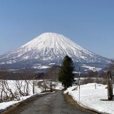
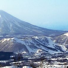
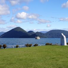
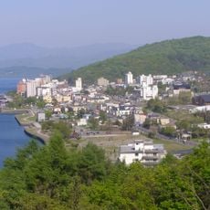
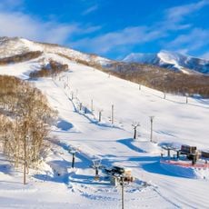
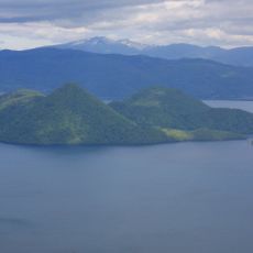
On clear days, the summit offers views of Mount Yotei and Ranetsu Mountain as well as Lake Toya below. The region receives roughly 14 meters of snow annually, with a dry powder quality that makes backcountry skiing especially rewarding here.
The community of curious travelers
AroundUs brings together thousands of curated places, local tips, and hidden gems, enriched daily by 93,464 contributors worldwide.