
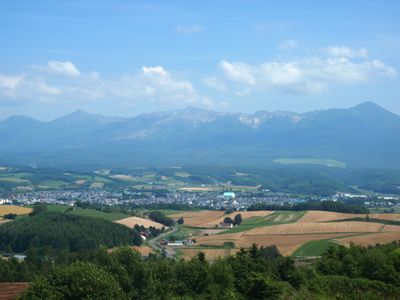
Kamifurano, town in Kamikawa Subprefecture, Hokkaidō, Japan
Location: Sorachi district
Inception: April 1, 1906
Website: https://www.town.kamifurano.hokkaido.jp/
Shares border with: Furano, Nakafurano, Minamifurano, Biei, Shintoku
Website: https://town.kamifurano.hokkaido.jp
GPS coordinates: 43.45561,142.46717
Latest update: March 3, 2025 18:11
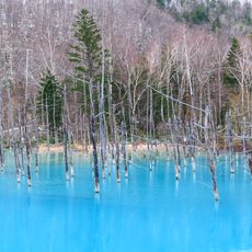
Blue Pond
12.6 km
Mount Tokachi
18.2 km
Canadian World Park
22.1 km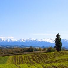
Ken & Mary Tree
17.1 km
Rokugō no Mori
17 km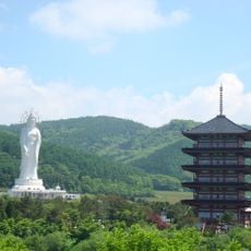
Dai Kannon of Kita no Miyako park
23.8 km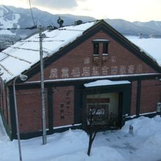
Kita no Kuni kara Museum
13.4 km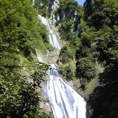
Hagoromo Falls
32 km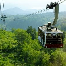
Asahidake Ropeway
35.8 km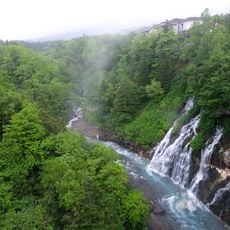
Shirahige Falls
14.1 km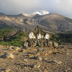
十勝岳望岳台
14.7 km
Furano Marche
14.2 km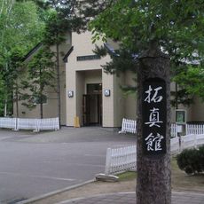
Takushinkan
8.5 km
就実の丘
19.6 km
大雪消防組合
14.8 km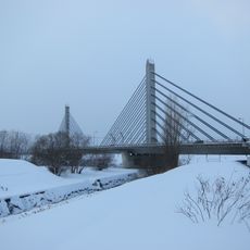
ツインハープ橋
31.7 km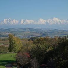
Tokachi Volcanic Group
18.2 km
Higashikawacho Kyoudokan
27.4 km
星槎国際高等学校芦別学習センター
25.6 km
日の出公園 (上富良野町)
1.6 km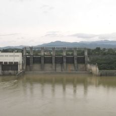
Nokanan Dam
20.4 km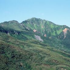
Mount Furano
15.2 km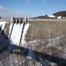
Chubetsu Dam
23.2 km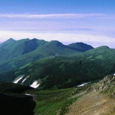
Mount Kamihorokamettoku
17.5 km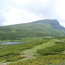
Mount Chūbetsu
37.6 km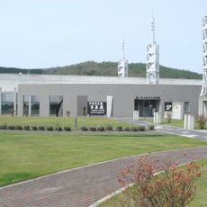
Hoshi no Furusato Centennial Museum
23.8 km
Kamifurano Folk Museum
300 m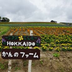
かんのファーム
9.9 kmReviews
Visited this place? Tap the stars to rate it and share your experience / photos with the community! Try now! You can cancel it anytime.
Discover hidden gems everywhere you go!
From secret cafés to breathtaking viewpoints, skip the crowded tourist spots and find places that match your style. Our app makes it easy with voice search, smart filtering, route optimization, and insider tips from travelers worldwide. Download now for the complete mobile experience.

A unique approach to discovering new places❞
— Le Figaro
All the places worth exploring❞
— France Info
A tailor-made excursion in just a few clicks❞
— 20 Minutes