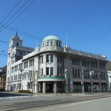
Sai, village in Shimokita district, Aomori prefecture, Japan
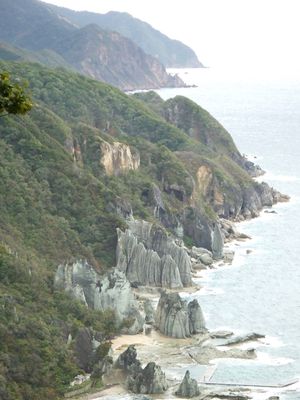
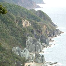
Sai is a small village on the western side of the Shimokita Peninsula, stretching like a narrow rectangle along the coast and surrounded by steep mountains. The settlement divides into eight small coastal hamlets and one higher in the mountains, with homes scattered along the shoreline or in mountain areas, while cliffs drop directly to the sea.
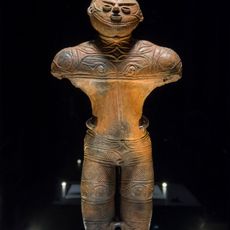
The area was once home to the Emishi people, who lived here long before the samurai period. During the Edo era, Sai fell under Nambu clan rule and became known for timber production and ferry routes to Ezo, now called Hokkaido.
The village centers on fishing and forestry, activities that shape daily life and local customs. Visitors notice simple traditions like home shrines, kagura dances performed during festivals such as the sea urchin festival in June, and a strong sense of community expressed through shared events and care for the land.
The village is difficult to reach and visitors typically travel by car or bus from nearby towns. The quiet, undeveloped terrain remains largely unchanged by mass tourism, and guests can explore on foot, though there is no direct railway service and local roads wind through mountains and along the coast.
Hiba trees, which serve as the village tree symbol, cover much of the forest and run deep in local identity. A cultural museum in the village preserves these stories, showcasing narratives of fishermen and forest workers passed down through generations.
The community of curious travelers
AroundUs brings together thousands of curated places, local tips, and hidden gems, enriched daily by 60,000 contributors worldwide.