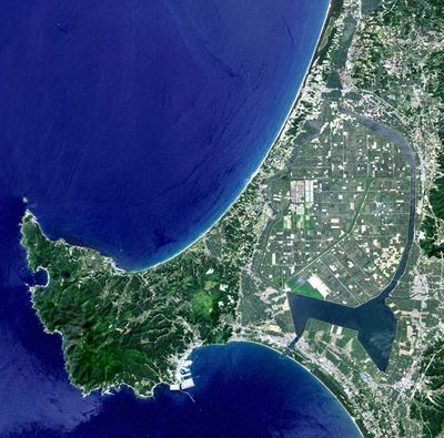
Hachirōgata, Lake region in Akita Prefecture, Japan
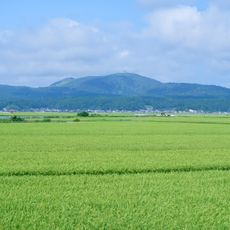
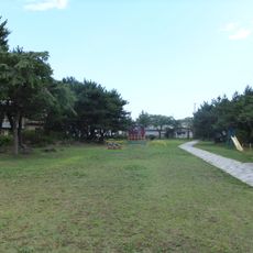
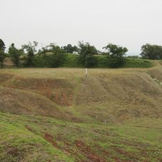
Hachirōgata spreads across roughly 48 square kilometers in Akita Prefecture and now consists of water channels surrounding cultivated farmland at its center. The area appears flat and open, with embankments and low shorelines shaping the landscape.
The Japanese government launched a major project in 1957 to transform what was then the country's second-largest lake into farmland for rice production. The drainage work lasted more than a decade and changed the original form of the lake fundamentally.
Fishermen drill holes through the frozen surface in winter to catch wakasagi fish swimming beneath the ice. This traditional method draws visitors who watch the quiet activity unfold across the cold expanse during the season.
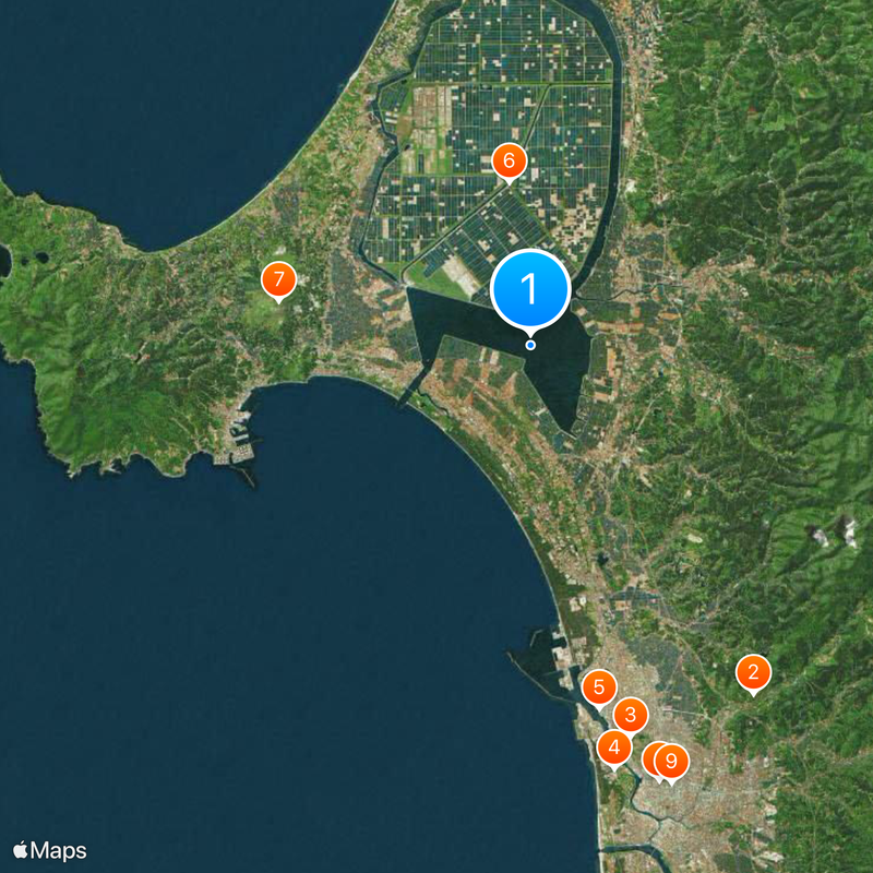
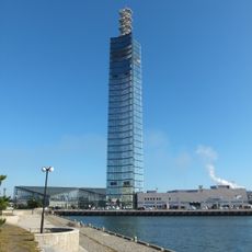
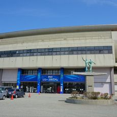
Visitors find several viewpoints along the shores that connect through public transport from central railway stations in Akita Prefecture. The flat topography makes orientation and movement across the area straightforward.
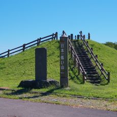
The floor sits roughly 15 meters (49 feet) below sea level, marking the lowest natural point across all of Japan. This feature gives the site a rare geographic distinction within the archipelago.
The community of curious travelers
AroundUs brings together thousands of curated places, local tips, and hidden gems, enriched daily by 60,000 contributors worldwide.