Mount Ogura, Mountain summit in Nagano Prefecture, Japan
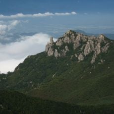
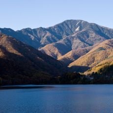
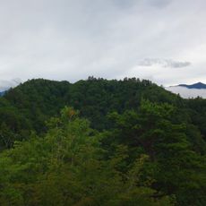
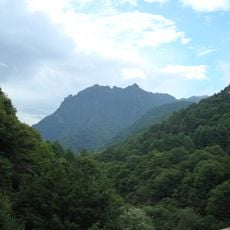
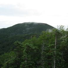
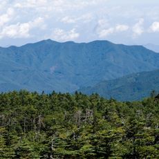
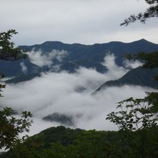
Mount Ogura (御座山, Ogura-san) is a 2,112-metre summit on the border of Kitaaiki and Minamiaiki Villages in Minamisaku District, Nagano Prefecture, and the highest mountain in Minamiaiki. It belongs to the Kantō Mountains, which run along the boundary between the Kantō and Chūbu regions. Its summit is a narrow, north-south rocky ridge with a 360-degree view.
The name of the mountain comes from old Japanese beliefs and roughly translates as a place where a deity lives. This idea shaped how people in the surrounding villages have thought about and approached the mountain for generations.
The shakunage rhododendrons bloom in early to mid-June, not July; the stretch from the lookout near the Shiraiwa trailhead to the forepeak is where they are fullest. The mountain's name, Ogura-san, is written with characters for a seat of honour, and it appears in the 1985 Japan Airlines Flight 123 crash report as the initially reported impact site before the correction to Osutaka Ridge.
The mountain is easiest to reach by taking the Koumi Line to Koumi Station and then catching a local bus to the trailhead. Trails are clearly marked, but you should carry enough water and allow several hours for the hike, as the time varies depending on which route you take.
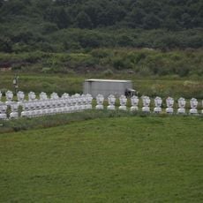
On 12 August 1985, after Japan Airlines Flight 123 crashed, the transport ministry first named Mount Ogura as the crash site, which made the mountain known nationwide. A few hours later the site was corrected to Mount Osutaka, 8.7 km east-southeast in Ueno, Gunma Prefecture. The summit itself is a narrow rocky ridge running north to south with a 360-degree view.
The community of curious travelers
AroundUs brings together thousands of curated places, local tips, and hidden gems, enriched daily by 93,175 contributors worldwide.