Tenryū, dissolved municipality in Shizuoka prefecture, Japan
Location: Shizuoka Prefecture
Inception: April 1, 1889
GPS coordinates: 34.87269,137.81592
Latest update: April 13, 2025 10:51
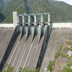
Sakuma Dam
25.4 km
Sumata-kyō
43.1 km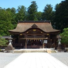
Oguni Shrine
8.1 km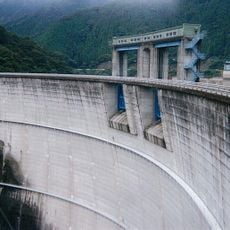
Shintoyone Dam
28.6 km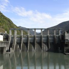
Akiba Dam
11.2 km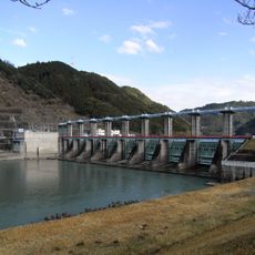
Funagira Dam
2 km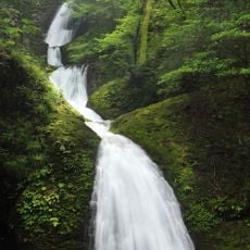
Atera Seven Falls
17.8 km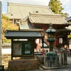
Gansui-ji
3.7 km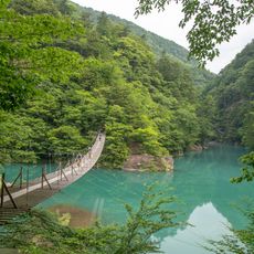
Yume-no-Tsuribashi
43.7 km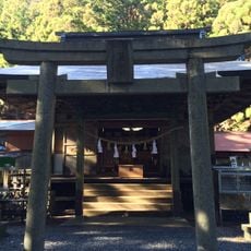
Yamazumi Shrine
30.5 km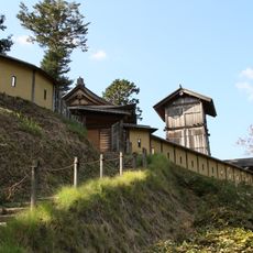
Takane Castle
31.2 km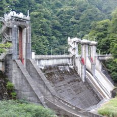
Senzu Dam
45.7 km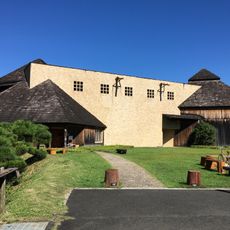
Akino Fuku Museum
923 m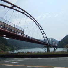
夢のかけ橋
4.1 km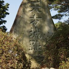
Château d'Amagata
12.5 km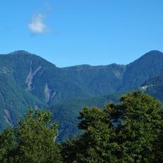
Mount Kurobōshi
40.9 km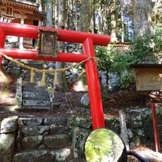
足神神社
42 km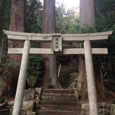
Tsuki-jinja
27.1 km
天宮神社
11.3 km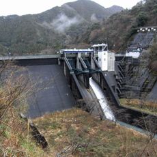
Sasamagawa Dam
27.6 km
Oku-Ōi Prefectural Nature Park
43.6 km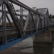
鹿島橋 (天竜川)
2.3 km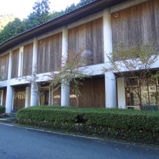
Misakubo Folk Museum
33.6 km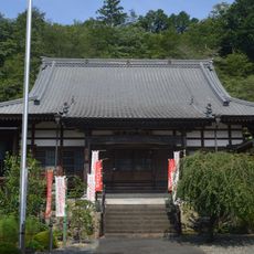
龍洞院
24.5 km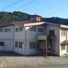
Hanamatsuri Kaikan
24 km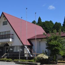
Toei Town Museum
24 km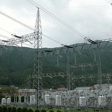
Sakuma Frequency Converter Station
23.4 km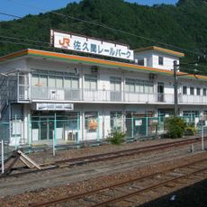
Sakuma Rail Park
23.7 kmReviews
Visited this place? Tap the stars to rate it and share your experience / photos with the community! Try now! You can cancel it anytime.
Discover hidden gems everywhere you go!
From secret cafés to breathtaking viewpoints, skip the crowded tourist spots and find places that match your style. Our app makes it easy with voice search, smart filtering, route optimization, and insider tips from travelers worldwide. Download now for the complete mobile experience.

A unique approach to discovering new places❞
— Le Figaro
All the places worth exploring❞
— France Info
A tailor-made excursion in just a few clicks❞
— 20 Minutes