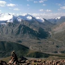
Kungey Alatau, Mountain range along Lake Issyk-Kul, Kyrgyzstan
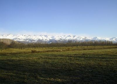
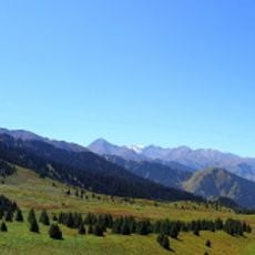
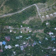
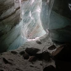
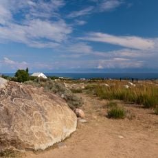
Kungey Alatau is a mountain range that stretches for 280 kilometers with an average width of 32 kilometers, featuring Chok-Tal Peak as its highest point at 4,771 meters. The range displays rocky ridges, green slopes covered with grass, and deep valleys running along the northern shores of Lake Issyk-Kul.
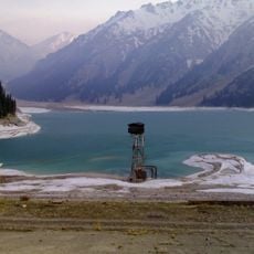
This mountain range formed as part of Central Asia's geological systems and has shaped human movement in the region for thousands of years. During the Soviet era, it became a controlled boundary where access was restricted and special permissions were required to cross.
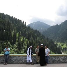
Shepherds still bring their flocks to the southern slopes during summer months, keeping alive a way of life that has shaped this landscape for centuries. Walking through the grasslands, you can encounter herds and temporary camps that show how people have always used these mountains.
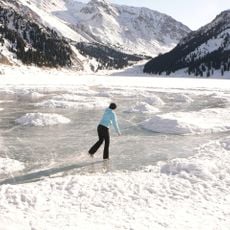
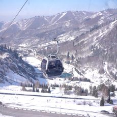
The range has multiple hiking trails easily accessible from Bishkek, with summer months from June to September offering the best conditions for trekking. In other seasons the weather can change rapidly and snow can block the higher passes.
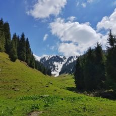
The name Kungey means 'facing the sun' in local languages, which reflects in the extended sunlight that reaches the southern slopes. This southwestern exposure is the reason the southern sides stay greener and more vegetated while the northern faces remain cooler and drier.
The community of curious travelers
AroundUs brings together thousands of curated places, local tips, and hidden gems, enriched daily by 60,000 contributors worldwide.