Aksy District, Administrative district in Jalal-Abad Region, Kyrgyzstan
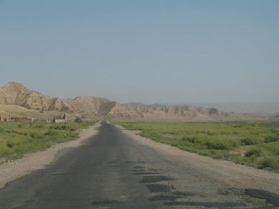
Aksy District is an administrative area in western Kyrgyzstan's Jalal-Abad Region. The town of Kerben serves as its administrative center and connects various settlements across the territory.
The district was originally established in 1936 as Tash-Kömür District and underwent several administrative reorganizations. It received its current name in 1991 following the Soviet Union's collapse.
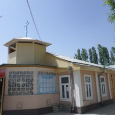
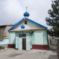
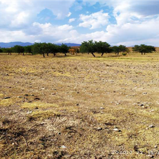
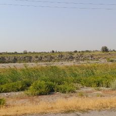
The district maintains traditional practices through regular local markets, festivals, and community gatherings in its 78 villages spread across 11 rural communities.
The district center in Kerben provides basic services and facilities for residents and visitors. Transportation connections link the main settlements across the region.
The district encompasses various settlements at different elevations, each with distinct postal codes ranging from 720600 to 720615, serving their respective communities.
Location: Jalal-Abad Region
Inception: October 29, 1935
Capital city: Kerben
GPS coordinates: 41.50000,71.75000
Latest update: December 7, 2025 20:49
Toktogul Reservoir
99.5 km
Sary-Chelek Nature Reserve
44.1 kmPadyshata State Nature Reserve
28.8 km
Mount Adelung
95 km
Church in Andijan
97.5 km
Khonakhan Mosque
113.9 km
Church of St. Archangel Michael in Namangan 1894
56.5 km
Church of St. Archangel Michael in Namangan 1952
54.7 km
Church of St. Nicholay Chudotvortsa in Andijan
97.3 km
Chapel of St. George in Andijan
98.2 km
Chust natural monument
66.8 km
Mingbulak natural monument
88.3 km
Church of St. Sergiy Radonezhckogo in Andijan
96.8 km
Bostonbuva natural monument
108.2 km
Yazyavan natural monument
92.7 km
Rodnik Kara-Bulak (tubud sa Kirgistan, Jalal-Abad oblast, lat 41,17, long 72,69)
87 km
Shah Fazil Mausoleum
11 km
Ak-Kur
107.1 km
Akkurgan
106.6 km
Rodnik Sasyk-Bulak (tubud sa Kirgistan, Jalal-Abad oblast, lat 41,14, long 72,81)
97.3 km
Rodnik Burzhu-Bulak
32.1 km
Rodnik Sasyk-Bulak (tubud sa Kirgistan, Jalal-Abad oblast, lat 41,25, long 72,90)
100 km
Rodnik Kosh-Bulak
52.1 km
Rodnik Ak-Tash (tubud sa Kirgistan, Jalal-Abad oblast)
56.6 km
Rodnik Kyzyl-Alma
56 km
Rodnik Kayragach-Bulak
81.8 km
Rodnik Kara-Suu
51.3 km
Rodnik Kara-Bulak (tubud sa Kirgistan, Jalal-Abad oblast, lat 41,61, long 71,99)
23.1 kmVisited this place? Tap the stars to rate it and share your experience / photos with the community! Try now! You can cancel it anytime.
Discover hidden gems everywhere you go!
From secret cafés to breathtaking viewpoints, skip the crowded tourist spots and find places that match your style. Our app makes it easy with voice search, smart filtering, route optimization, and insider tips from travelers worldwide. Download now for the complete mobile experience.
A unique approach to discovering new places❞
— Le Figaro
All the places worth exploring❞
— France Info
A tailor-made excursion in just a few clicks❞
— 20 Minutes