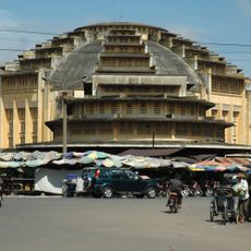
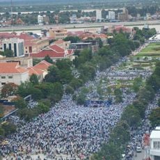
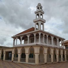
Kampong Chhnang Province, Administrative province in central Cambodia
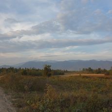
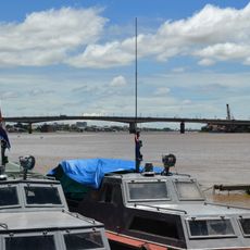
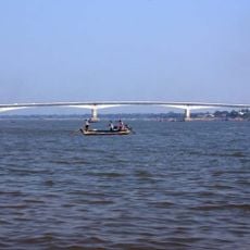
Kampong Chhnang is a province in central Cambodia covering approximately 5,500 square kilometers across eight districts, crisscrossed by numerous waterways. The region is shaped by connections to the Tonle Sap River and features several important transportation routes.
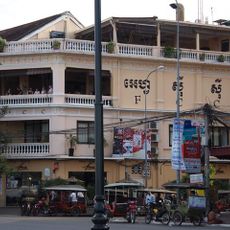
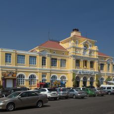
The province received its formal administrative status in 1907 during the French colonial period when infrastructure projects transformed it into a trading center. These developments established the foundation for the region's economic role in Southeast Asia.
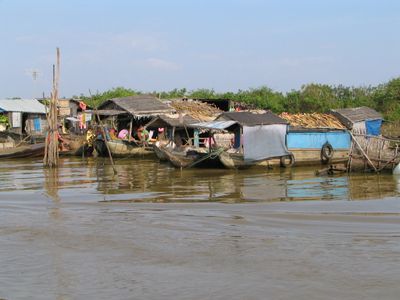
Women in villages near Tonle Sap Lake create pottery using traditional methods, shaping vessels and cookware that gets distributed throughout the region by water.
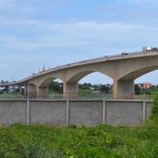
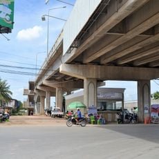
You can reach the province from Phnom Penh via National Road 5, where regular buses connect to Kampong Chhnang city. Travel is most accessible during the dry season when waterways remain stable and easier to navigate.
The name Kampong Chhnang means Port of Pottery, reflecting a craft tradition the region has practiced for centuries. This heritage still shapes the place today and shows itself in workshops along the waterways.
Location: Cambodia
Inception: 1907
Capital city: Kampong Chhnang
Shares border with: Kampong Thom Province, Kampong Cham Province, Kandal Province, Kampong Speu Province, Pursat Province
GPS coordinates: 12.00000,104.50000
Latest update: December 7, 2025 20:20
Wat Phnom
66 km
National Museum of Cambodia
67.2 km
Olympic Stadium
66.6 km
Phnom Aural
36 km
Central Market
66.3 km
Foreign Correspondents' Club, Phnom Penh
67.3 km
Wat Ounalom
67.2 km
Sisowath Quay
67.4 km
RSN Stadium
61.5 km
Peace Palace, Phnom Penh
65.8 km
RCAF Old Stadium
64.5 km
Al-Serkal
65 km
Chroy Changva Bridge
65 km
Phnom Kong Rei
42.2 km
Phnom Aural Wildlife Sanctuary
48.7 km
Central Post Office, Phnom Penh
66.2 km
Prek Tamak Bridge
61.4 km
Wat Moha Montrey
67 km
Freedom Park (Cambodia)
66 km
Mosque Nur ul-Ihsan
60.2 km
Prek Kdam Bridge
39.3 km
Prek Pnov Bridge
39.3 km
Institut français du Cambodge
66.9 km
Russey Keo bridge
63.2 km
Temporary Russey Keo Iron Bridge
63.2 km
Mosque An-Nur an-Na'im
59.4 km
Mosque KM9
58.4 km
KM7 Mosque
60.2 kmVisited this place? Tap the stars to rate it and share your experience / photos with the community! Try now! You can cancel it anytime.
Discover hidden gems everywhere you go!
From secret cafés to breathtaking viewpoints, skip the crowded tourist spots and find places that match your style. Our app makes it easy with voice search, smart filtering, route optimization, and insider tips from travelers worldwide. Download now for the complete mobile experience.
A unique approach to discovering new places❞
— Le Figaro
All the places worth exploring❞
— France Info
A tailor-made excursion in just a few clicks❞
— 20 Minutes