Suong Municipality, municipality in Tboung Khmum, Cambodia
Location: Tbong Khmum Province
GPS coordinates: 11.90722,105.65889
Latest update: March 23, 2025 16:42

Black Virgin Mountain
80.8 km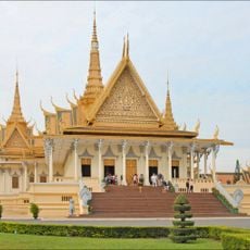
Royal Palace
88.1 km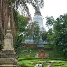
Wat Phnom
88.3 km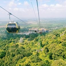
Sun World BaDen Mountain
83 km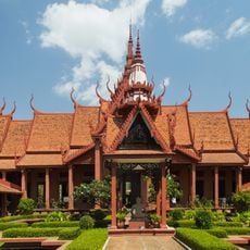
National Museum of Cambodia
88.2 km
Independence Monument, Phnom Penh
88.7 km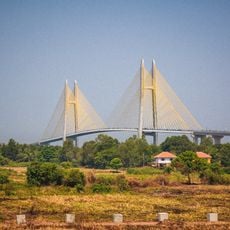
Neak Loeung Bridge
81.6 km
Aeon Mall Phnom Penh
88.6 km
Foreign Correspondents' Club, Phnom Penh
87.9 km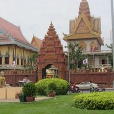
Wat Ounalom
88 km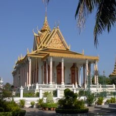
Silver Pagoda, Phnom Penh
88.1 km
Sisowath Quay
87.8 km
Wat Botum
88.3 km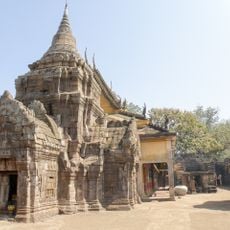
Banteay Prey Nokor
26.1 km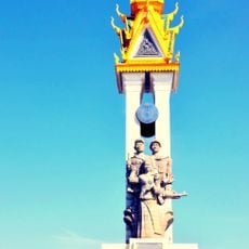
Cambodia–Vietnam Friendship Monument
88.1 km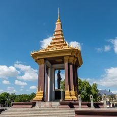
Norodom Sihanouk Memorial
88.5 km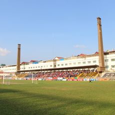
RCAF Old Stadium
88.6 km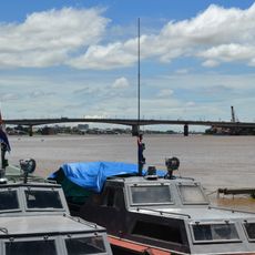
Chroy Changva Bridge
87.9 km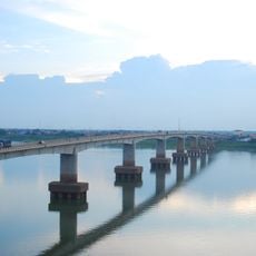
Kizuna bridge
22.3 km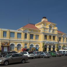
Central Post Office, Phnom Penh
88.1 km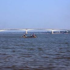
Prek Tamak Bridge
73.5 km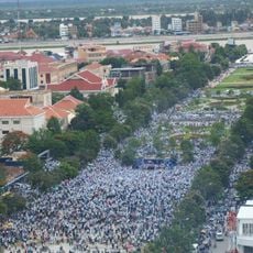
Freedom Park (Cambodia)
88.6 km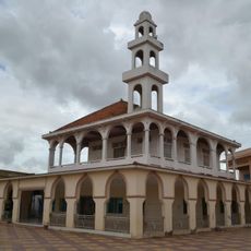
Mosque Nur ul-Ihsan
87.9 km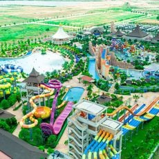
Garden City Water Park
88.5 km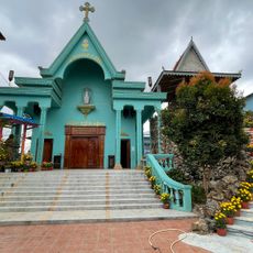
Category:Sanctuaire Marie Reine de la Paix Areyksat
85.7 km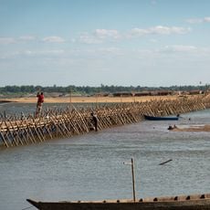
Kampong Cham Bamboo Bridge
22.7 km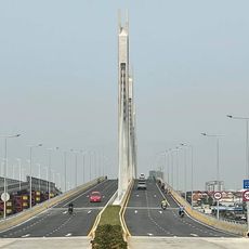
Russey Keo bridge
87 km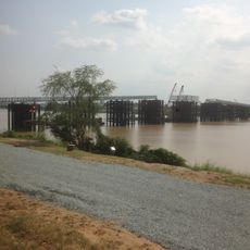
Temporary Russey Keo Iron Bridge
87.1 kmReviews
Visited this place? Tap the stars to rate it and share your experience / photos with the community! Try now! You can cancel it anytime.
Discover hidden gems everywhere you go!
From secret cafés to breathtaking viewpoints, skip the crowded tourist spots and find places that match your style. Our app makes it easy with voice search, smart filtering, route optimization, and insider tips from travelers worldwide. Download now for the complete mobile experience.

A unique approach to discovering new places❞
— Le Figaro
All the places worth exploring❞
— France Info
A tailor-made excursion in just a few clicks❞
— 20 Minutes