K'al-bong, Berggipfel in Nordkorea
Location: North Pyongan Province
GPS coordinates: 39.96611,126.27111
Latest update: May 1, 2025 23:23
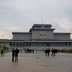
Kumsusan Palace of the Sun
108.7 km
International Friendship Exhibition
7.4 km
Korea Central Zoo
106.6 km
Changjin Reservoir
98.8 km
Taesongsan
105.1 km
Mausoleum of Tangun
92.2 km
Bohyeonsa
5.6 km
Three Revolution Exhibition
108.1 km
Pyongyang Folklore Park
107.9 km
Taesongsan Funfair
106.3 km
Hamhung Grand Theatre
108.2 km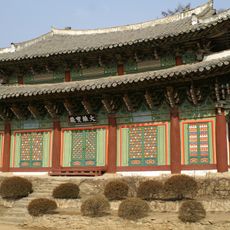
Anguksa
83.3 km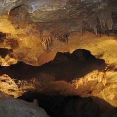
Songam Cavern
78.8 km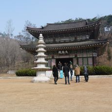
Kwangbŏpsa
104.6 km
Central Botanical Garden
107.3 km
Kyŏllyong-jŏsuji
88.4 km
Tŏksang-jŏsuji
77 km
Imwŏn-jŏsuji
93.1 km
Yŏnp'ung-ho
51.8 km
T'aech'ŏn-jŏsuji
65 km
Wiwŏn-jŏsuji
105.9 km
Yongdu-bong (tumoy sa bukid sa Amihanang Korea, P'yŏngan-namdo)
90.7 km
Taesŏng-jŏsuji
71 km
Tarŭn-jŏsuji
61.3 km
Tongam-jŏsuji
95.4 km
Unjŏn-jŏsuji
83.7 km
Kusŏng-jŏsuji
94.5 km
Ryomyong Tower 35 floors 140 m (460 ft)
109.8 kmVisited this place? Tap the stars to rate it and share your experience / photos with the community! Try now! You can cancel it anytime.
Discover hidden gems everywhere you go!
From secret cafés to breathtaking viewpoints, skip the crowded tourist spots and find places that match your style. Our app makes it easy with voice search, smart filtering, route optimization, and insider tips from travelers worldwide. Download now for the complete mobile experience.

A unique approach to discovering new places❞
— Le Figaro
All the places worth exploring❞
— France Info
A tailor-made excursion in just a few clicks❞
— 20 Minutes