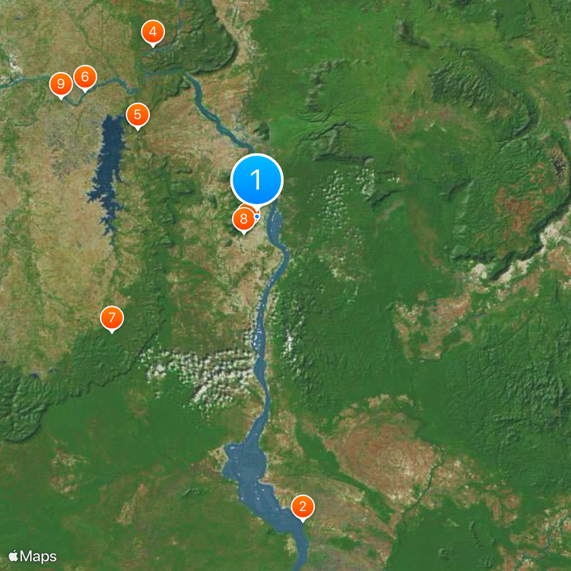
Champasak Province, Administrative province in southern Laos
Champasak Province is an administrative region in southern Laos that stretches along the Mekong River and contains varying landscapes. The area includes mountain ranges and lowland plains where coffee farming is part of the local economy.
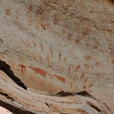
The region was part of the Khmer Empire between the 10th and 13th centuries and later developed into its own kingdom. After the Lan Xang Empire dissolved in 1707, the area took on its current political form.
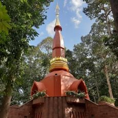
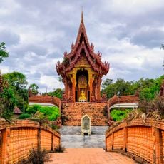
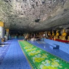
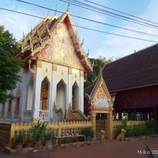
Local communities gather annually during the third lunar month for celebrations that include traditional Lao performances and practices rooted in the region's way of life. These gatherings reflect how people here maintain their customs and connection to the land.
The provincial capital Pakse is easily accessible and offers connections to neighboring countries through established transportation routes. Visitors can navigate the region conveniently using local transport options.
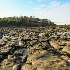
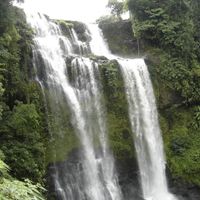
A notable natural feature within the province is one of the largest waterfall complexes in Southeast Asia by water volume. This striking display of cascading water is something many visitors overlook when exploring the area.
Location: Laos
Capital city: Pāksē
Shares border with: Salavan Province, Preah Vihear Province, Stung Treng Province
GPS coordinates: 14.88250,105.84250
Latest update: December 7, 2025 09:26
Photo license: CC BY-SA 4.0
Khone Phapheng Falls
103.9 km
Vat Phou
4.7 km
Wat Nong Pa Phong
113.3 km
Pha Taem National Park
67.4 km
Wat Sirindhorn Wararam Phu Phrao
50 km
Wat Maha Wanaram
112.3 km
Virachey National Park
139.1 km
Phu Chong-Na Yoi National Park
62.7 km
Champasak cultural landscape
7.1 km
Kaeng Tana National Park
60.9 km
Wat Tai Phra Chao Yai Ong Tue
111.7 km
Wat Thung Si Mueang
112.3 km
Champasak Palace
27 km
Wat Mani Wanaram
112.4 km
Stung Treng Bridge
151.3 km
Xe Pian National Protected Area
42.9 km
Wat Luang
27 km
Wat Luang
112.3 km
Pakse Bridge
25.3 km
Ubon Ratchathani University Stadium
103.1 km
Sirindhorn Reservoir
54.6 km
Prasat Ban Ben
98.8 km
Tad Yuang
46 km
Phou N'droni
139.2 km
Phou Dènmuang (tumoy sa bukid)
89.1 km
Phou Paao
51.3 km
Tad Fane Waterfall
45.4 km
Phou Niang (tahud sa bukid sa Laos)
26.3 kmVisited this place? Tap the stars to rate it and share your experience / photos with the community! Try now! You can cancel it anytime.
Discover hidden gems everywhere you go!
From secret cafés to breathtaking viewpoints, skip the crowded tourist spots and find places that match your style. Our app makes it easy with voice search, smart filtering, route optimization, and insider tips from travelers worldwide. Download now for the complete mobile experience.
A unique approach to discovering new places❞
— Le Figaro
All the places worth exploring❞
— France Info
A tailor-made excursion in just a few clicks❞
— 20 Minutes