Šilutė District Municipality
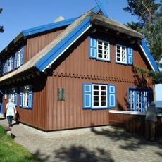
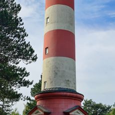
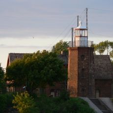
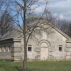
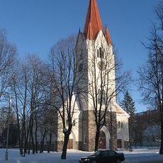
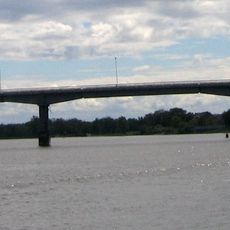
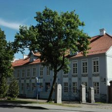
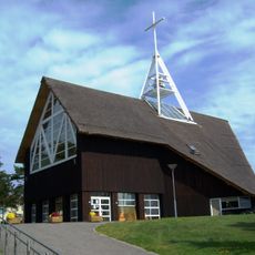
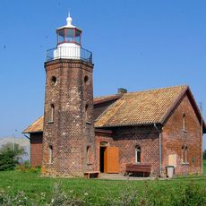
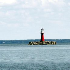
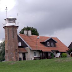
Šilutė District Municipality, district municipality of Lithuania
Location: Lithuania
Capital city: Šilutė
Elevation above the sea: 59.15 m
Shares border with: Pagėgiai Municipality, Tauragė District Municipality, Šilalė District Municipality, Klaipėda District Municipality
Website: https://silute.lt
GPS coordinates: 55.35000,21.48333
Latest update: March 4, 2025 08:11
Curonian Spit National Park
28.4 km
Thomas Mann Memorial Museum
29.9 km
Hill of Witches
31.5 km
Church of St. James the Apostle, Švėkšna
20.5 km
Nida Lighthouse
31.3 km
Švėkšna Manor
20.2 km
Nemunas Delta Regional Park
11 km
Vilkėnas Manor
19 km
Stalag Luft VI
2.5 km
Evangelical Lutheran Church in Šilutė
1.3 km
Rusnės tiltas
8.4 km
Šilutė manor
1.8 km
Nagliai Nature Strict Reserve
28.4 km
Church of the Blessed Virgin Mary, Help of Christians, Nida
31 km
Cape Vente Lighthouse
18.6 km
Juodkrantė Lighthouse
32.7 km
Pervalka Lighthouse
24.6 km
Uostadvaris lighthouse
12.2 km
Vilkyciai Circuit
19.6 km
Church of the Holy Cross in Šilutė
689 m
Hillfort Skomantų
23.5 km
Padievaitis hillfort
38.6 km
Evangelical Lutheran Church in Vanagai
23.6 km
Evangelical Lutheran Church in Nida
30.5 km
Šlažai bridge
3.5 km
Purvynė
29.5 km
Church of St. Vincent Ferrer, Degučiai
18 km
Evangelical Lutheran Church in Juodkrantė
30.7 kmReviews
Visited this place? Tap the stars to rate it and share your experience / photos with the community! Try now! You can cancel it anytime.
Discover hidden gems everywhere you go!
From secret cafés to breathtaking viewpoints, skip the crowded tourist spots and find places that match your style. Our app makes it easy with voice search, smart filtering, route optimization, and insider tips from travelers worldwide. Download now for the complete mobile experience.
A unique approach to discovering new places❞
— Le Figaro
All the places worth exploring❞
— France Info
A tailor-made excursion in just a few clicks❞
— 20 Minutes