
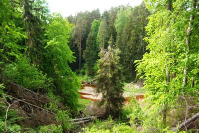
Karčiupis Hydrographical Reserve
Location: Kaunas District Municipality
GPS coordinates: 54.90083,24.12667
Latest update: September 25, 2025 07:40
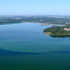
Kaunas Reservoir
5.9 km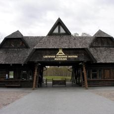
Open-Air Museum of Lithuania
6.1 km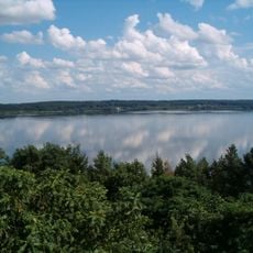
Kaunas Reservoir Regional Park
3.9 km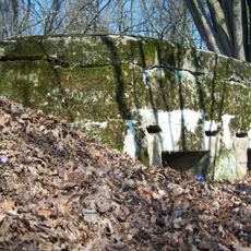
Palemonas Fort
5 km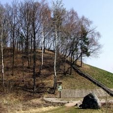
Vieškūnai hillfort
4.9 km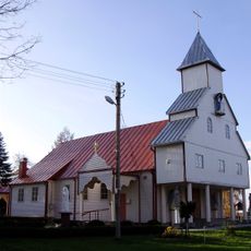
Church of the Visitation, Šlienava
4.3 km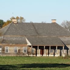
Aristavėlė manor
4.7 km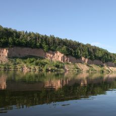
Gastilonys outcrop
3.6 km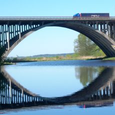
Kruna viaduct
2.1 km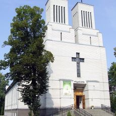
Church of Holy Virgin Mary the Queen of the Rosary, Palemonas
4.6 km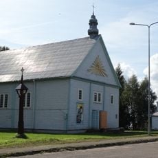
Church of St. Michael the Archangel, Rumšiškės
6.6 km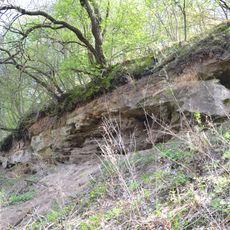
Kalniškių conglomerate
3.5 km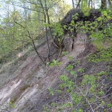
Žiegždriai outcrop
4.5 km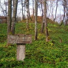
Samylai Hillfort
5.3 km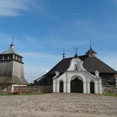
Old Church of Sasnava
5.8 km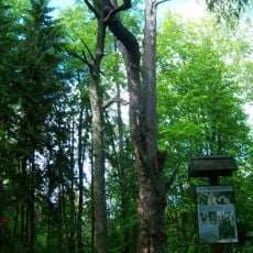
Rumšiškių miško pušis
3.4 km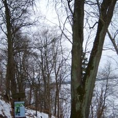
Žiegždrių liepa
4 km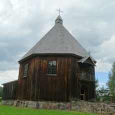
Račkiškė chapel
5.3 km
Žiegždrių piliakalnis
3 km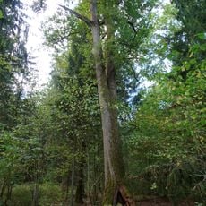
Rumšiškių miško ąžuolas
4.7 km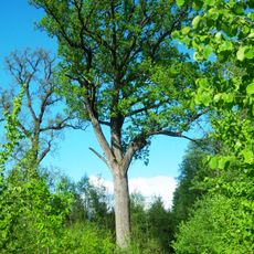
Karčiupio miško ąžuolas
3 km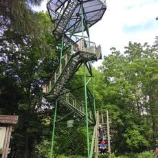
Rumšiškės Watchtower
6.3 km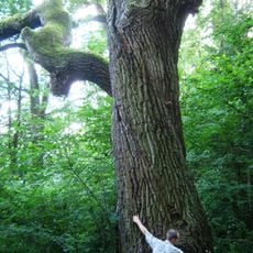
Gastilonys oak
3.7 km
Daukliūnai stone
6.4 km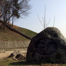
Rumšiškių piliakalnis
6.5 km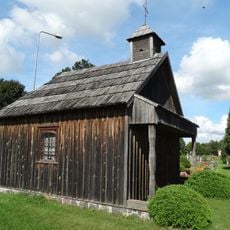
St. Anne Chapel, Rumšiškės
6.4 km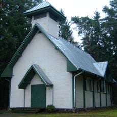
Karčiupio koplyčia
1.5 km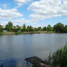
Laumėnų tvenkinys
4.8 kmReviews
Visited this place? Tap the stars to rate it and share your experience / photos with the community! Try now! You can cancel it anytime.
Discover hidden gems everywhere you go!
From secret cafés to breathtaking viewpoints, skip the crowded tourist spots and find places that match your style. Our app makes it easy with voice search, smart filtering, route optimization, and insider tips from travelers worldwide. Download now for the complete mobile experience.

A unique approach to discovering new places❞
— Le Figaro
All the places worth exploring❞
— France Info
A tailor-made excursion in just a few clicks❞
— 20 Minutes