
Garkalne parish
Location: Ropaži Municipality
Inception: July 1, 2021
GPS coordinates: 57.04750,24.42056
Latest update: April 5, 2025 02:41
Latvian Ethnographic Open Air Museum
11.1 km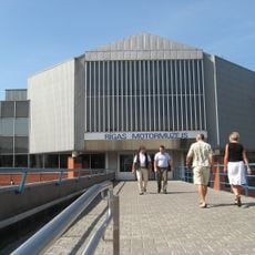
Riga Motor Museum
14.5 km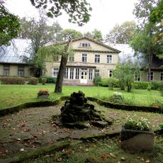
Strazdumuiža
12.3 km
Ādaži Castle
10.7 km
Piejūra Nature Park
14.1 km
Carnikava mõis
12.7 km
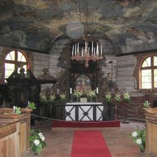
St. Catherine's Lutheran Church, Riga
14.4 km
Bonaventura Manor
11.1 km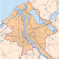
Šmerlis kapi
14.4 km
Carnikava Lutheran church in Siguļi
10.5 km
Lutheran church in Baltezers
6.4 km
Jaunciems Lutheran Church
14.6 km
Jaunciems
14.4 km
Zorgenfreijas muiža
13.9 km
Islands in Lielais Baltezers
7.9 km
Garkalnes meži
3.7 km
Ādaži protected landscape area
13.7 km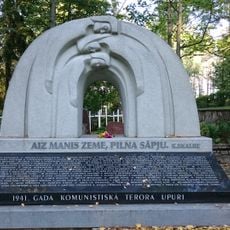
Komunistiskā masu terora upuru piemiņas vieta un kapi
6.5 km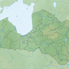
Lieluikas un Mazuikas ezers
10 km
Ķīšezera (Bulduru) pilskalns
13.2 km
Kaltiņu ozols
10.3 km
Buļļezers Nature Reserve
3.4 km
Tower Stapriņi
6.4 km
Sudrabkalns hillfort
11.9 km
Ulbroka cemetery chapel
13.9 km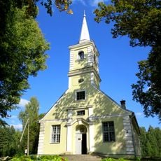
Lutheran church near Vangaži
12.4 km
Korpuss Nr.2
12.2 km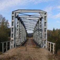
Mazā Jugla railway bridge
14.5 kmReviews
Visited this place? Tap the stars to rate it and share your experience / photos with the community! Try now! You can cancel it anytime.
Discover hidden gems everywhere you go!
From secret cafés to breathtaking viewpoints, skip the crowded tourist spots and find places that match your style. Our app makes it easy with voice search, smart filtering, route optimization, and insider tips from travelers worldwide. Download now for the complete mobile experience.

A unique approach to discovering new places❞
— Le Figaro
All the places worth exploring❞
— France Info
A tailor-made excursion in just a few clicks❞
— 20 Minutes