Taza-Al Hoceima-Taounate, Former administrative territory in northern Morocco
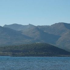
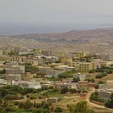
Taza-Al Hoceima-Taounate was a former administrative region in northern Morocco that stretched between the Rif Mountains and Middle Atlas ranges, combining agricultural plains with mountainous terrain. The area varied in elevation between 450 and 580 meters and included several significant towns serving as regional centers.
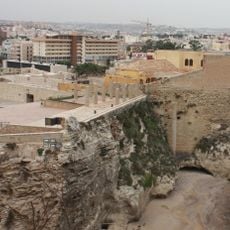
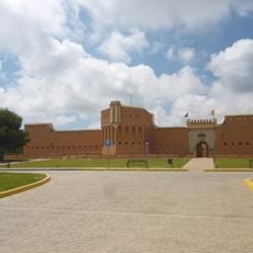
Taza developed as a strategic outpost from the 7th century onward, controlling trade routes and serving as a defensive point against invasions. This position made the entire region an important hub in the political and economic development of northern Morocco.
Towns here maintain traditional souks where merchants sell local products like wickerwork, tapestries, and agricultural goods from the surrounding farmlands. These markets remain central to daily life and reflect how communities have organized trade for generations.
The region connects to major Moroccan cities through the N6 highway running east to west between Fez and Oujda, making travel through the area straightforward. Several secondary roads branch off from this main route to reach towns and villages spread across both flat and hilly terrain.
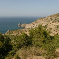
Near Taza lies the Rhar Chara cave system, which extends for several kilometers and contains remains from the Paleolithic period. These archaeological finds reveal early human settlement in North Africa and provide key evidence of the continent's earliest history.
The community of curious travelers
AroundUs brings together thousands of curated places, local tips, and hidden gems, enriched daily by 60,000 contributors worldwide.