Enable Location

We need your location to show you interesting places around you

Discover nearby places

Find interesting locations and hidden gems around you

Precise directions

Get accurate directions and distances to places

Your location is never shared with other users. It's only used when you tap the location button.

Tangier

Log in to your account

Start exploring — it's free

Trusted by 61,652 travelers worldwide

Continue with Google
Continue with Apple
or

We will send you a code to connect

By continuing, you accept our Terms and Conditions and our Privacy Policy

Check your inbox

We've sent a pincode in your inbox. Please enter the code below.

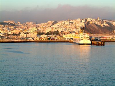
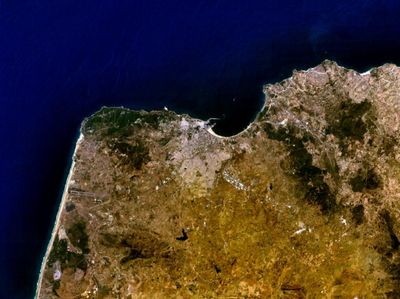
Tangier, Port city in northern Morocco

Description

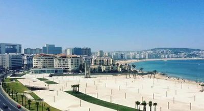
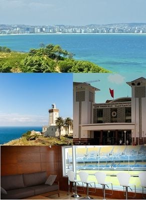
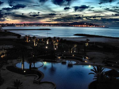
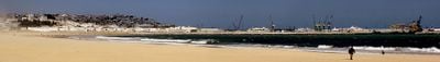
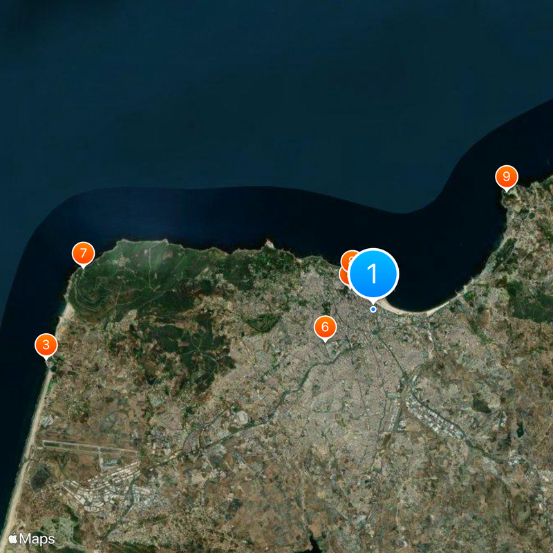
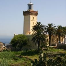
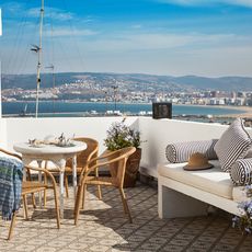
Tangier is a coastal city in northern Morocco, positioned at the western entrance to the Strait of Gibraltar where the Mediterranean Sea meets the Atlantic Ocean. The settlement spreads over several hills that descend toward the shore, with a busy port and wide beaches stretching along both sea fronts.

History

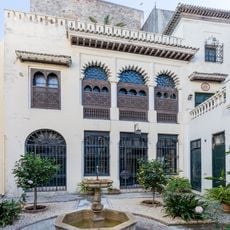
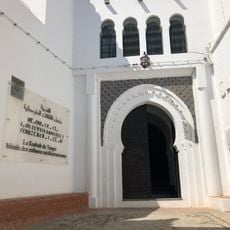
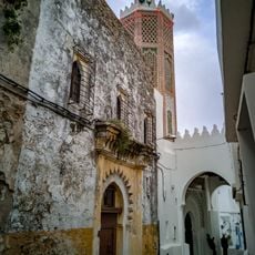
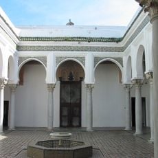
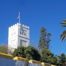
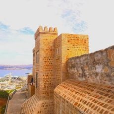
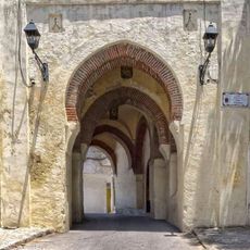
The settlement passed through the hands of Phoenicians, Romans, Arabs and Portuguese over many centuries before becoming part of the Moroccan sultanate. From 1923 to 1956 it functioned as an International Zone under shared administration by several European powers, then rejoined the kingdom after Morocco gained independence.

Culture

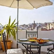
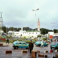
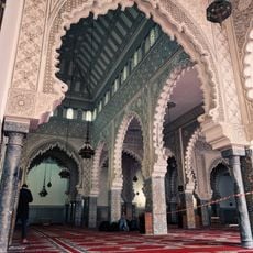
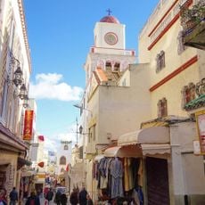
In the Medina markets, vendors sell fresh mint, spices and handwoven rugs each morning, while restaurants along the Corniche serve grilled fish and Moroccan tea. At the cafés around Place de France, locals meet over coffee and pastries, a habit passed down from the European presence in the previous century.

Practical

Ibn Battouta Airport connects the city with several European capitals through daily flights, while ferries cross to southern Spain in under an hour. The old town is easy to walk through, although comfortable shoes help on the steep lanes and cobblestone surfaces.

Did you know?

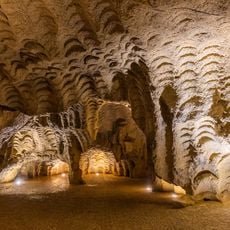
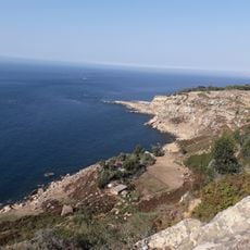
The Hercules Caves hold an opening toward the Atlantic Ocean shaped like the African continent, formed when the Phoenicians extracted millstones from the rock. Along the coastal road toward Cape Spartel, locals and travelers often spot dolphins swimming in the boundary zone where the two seas meet.

Inception
5 century BCE
Elevation above the sea
56 m
Address
Tangier, Morocco
GPS coordinates
35.76963,-5.80335
Latest update
December 14, 2025 23:17

AroundUs brings together thousands of curated places, local tips, and hidden gems, enriched daily by 60,000 contributors worldwide. Discover all places nearby (Tangier-Assilah Prefecture).

Best traditional riads in Tangier

Tangier's riads are traditional Moroccan houses that open their doors to travelers seeking a genuine taste of local life. Most of them sit in the medina or the kasbah, where narrow streets lead to hidden courtyards and peaceful rooms. You'll find terraces with views of the city, rooftops, and water,...

« Tangier - Port city in northern Morocco » is provided by Around Us (aroundus.com). Images and texts are derived from Wikimedia project under a Creative Commons license. You are allowed to copy, distribute, and modify copies of this page, under the conditions set by the license, as long as this note is clearly visible.

Discover hidden gems everywhere you go!

From secret cafés to breathtaking viewpoints, skip the crowded tourist spots and find places that match your style. Our app makes it easy with voice search, smart filtering, route optimization, and insider tips from travelers worldwide. Download now for the complete mobile experience.

Around Us App Screenshot

A unique approach to discovering new places

Le Figaro

All the places worth exploring

France Info

A tailor-made excursion in just a few clicks

20 Minutes

Around Us
Travel Guide & Maps
Download

Send to your phone

QR Code
1

Open the camera app on your mobile.

2

Point at the QR code with your camera. A notification will appear.

3

Tap the notification to open the link.