Southern Provinces, Geographic region in Western Sahara, North Africa
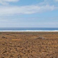
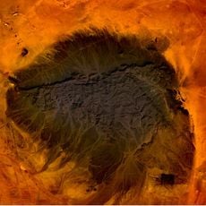
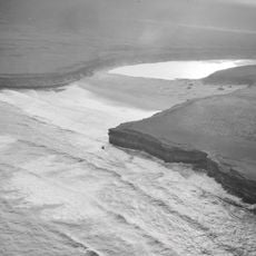
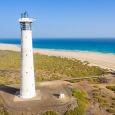
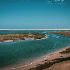
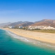
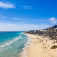
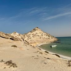
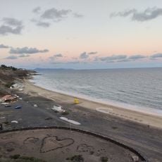
The Southern Provinces cover a large desert area between Morocco and Mauritania with Atlantic coastline. The territory contains phosphate deposits and fishing zones that are economically significant.
Spain withdrew from Spanish Sahara after the Madrid Accords, ratified 12 days after the Green March of 6 November 1975, with departure set for no later than 28 February 1976. Morocco and Mauritania then signed a partition agreement on 14 April 1976: Morocco took Saguia el-Hamra and the northern Río de Oro, Mauritania the rest, renamed Tiris al-Gharbiyya. The Polisario Front launched a guerrilla war on 27 February 1976, backed by Algeria and Libya, seeking independence.
The population includes Sahrawi people who speak Hassaniya Arabic and practice Bedouin traditions, as well as settlers from various Moroccan regions. These different groups shape the daily life and local customs visible throughout the territory.
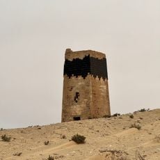
The territory is primarily desert with limited infrastructure in many areas. Visitors should prepare for harsh conditions and use local guides to navigate safely.
The region remains under divided administration, with two-thirds governed by Morocco and the eastern third controlled by another authority. This division profoundly shapes the territory's structure and daily reality.
The community of curious travelers
AroundUs brings together thousands of curated places, local tips, and hidden gems, enriched daily by 93,898 contributors worldwide.