
Mezguitem, rural commune in Morocco
Location: Guercif Province
Elevation above the sea: 869 m
GPS coordinates: 34.50194,-3.64278
Latest update: March 12, 2025 13:42
Peñón de Alhucemas
82.4 km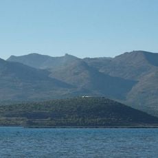
Gourougou
99.4 km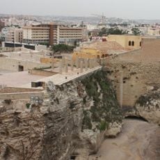
Rusaddir
107.8 km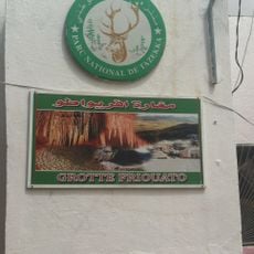
Friouato caves
46.8 km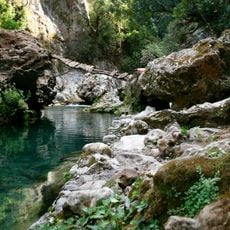
Tazekka National Park
65.7 km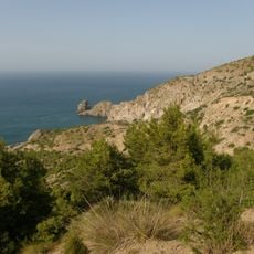
Al Hoceima National Park
87.3 km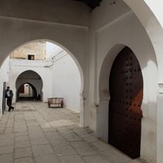
Great Mosque of Taza
47.3 km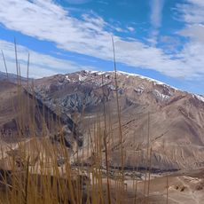
Jbel Bou Naceur
106.6 km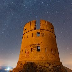
Tazouda Castle
96.7 km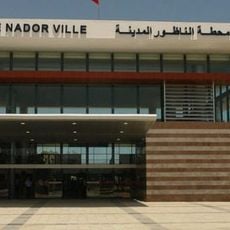
Nador railway station
100.1 km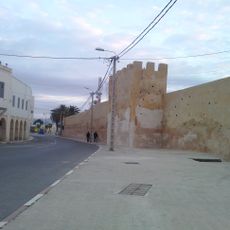
Medina of Taza
47.5 km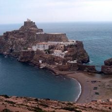
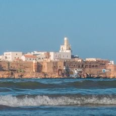
Faro del peñón de Vélez de la Gomera
95.9 km
Nador-Ville railway station
100.1 km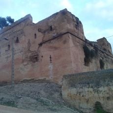
El Bestioun Taza
47 km
Fort of the Concepción
106.7 km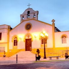
Church of Saint Augustinus (Melilla)
107.6 km
Mercado del Real, Melilla
107.6 km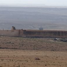
Msoun
26.7 km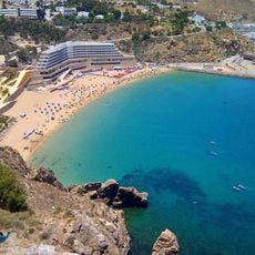
Playa Quemado
86.6 km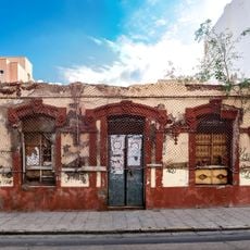
Cine Español, Melilla
107.6 km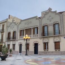
Casa para la viuda de Samuel Salama, Melilla
107.6 km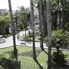
Parque Agustín Jerez
107.7 km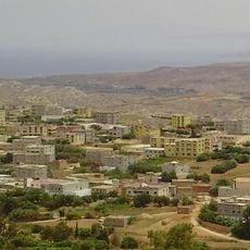
Ichniwen
79 km
Cala Iris
97.7 km
Plage de Bades
95.4 km
Sidi Guariach mosque
106.9 km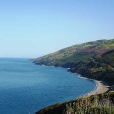
Mediterranean Morocco
87.3 km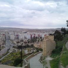
Bab Jemaa
47.2 kmReviews
Visited this place? Tap the stars to rate it and share your experience / photos with the community! Try now! You can cancel it anytime.
Discover hidden gems everywhere you go!
From secret cafés to breathtaking viewpoints, skip the crowded tourist spots and find places that match your style. Our app makes it easy with voice search, smart filtering, route optimization, and insider tips from travelers worldwide. Download now for the complete mobile experience.

A unique approach to discovering new places❞
— Le Figaro
All the places worth exploring❞
— France Info
A tailor-made excursion in just a few clicks❞
— 20 Minutes