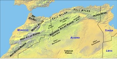
Tell Atlas, Mountain range in northern Algeria
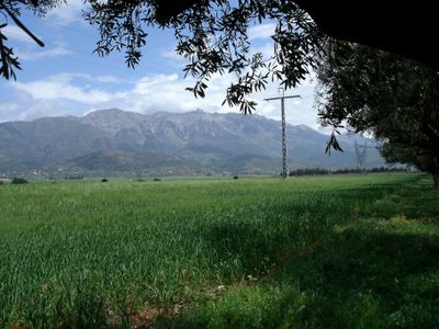
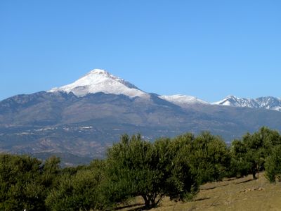
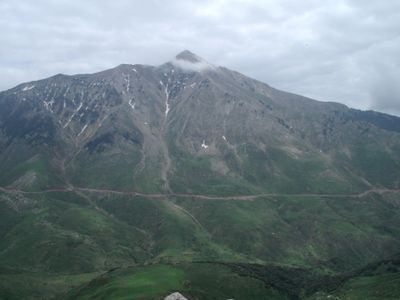
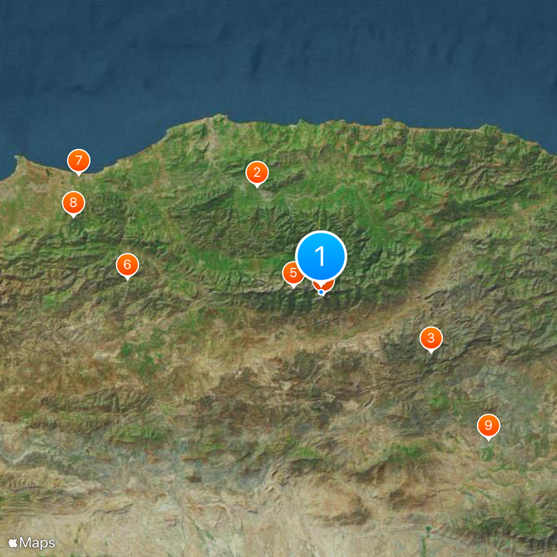
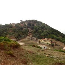
The Tell Atlas is a mountain range in northern Algeria stretching roughly 1,500 kilometers and dividing the Mediterranean coast from the southern desert. The region contains several mountain chains covered in cedar, cork, and oak forests, with open grasslands at higher elevations.
The mountain range formed through tectonic movements that folded and lifted sediment layers over vast geological timescales. These processes created the current structure with its valleys, ridges, and varying elevations.
Mountain villages here maintain farming traditions, using terraced slopes for crops and raising livestock adapted to the terrain. The communities have built their homes to work with the steep landscape and rely on natural water sources for daily life.
The mountain chains are relatively accessible via several main routes and local trails, with warmer months offering the best visiting conditions. Visitors should be prepared for changing weather and expect snow in higher elevations.
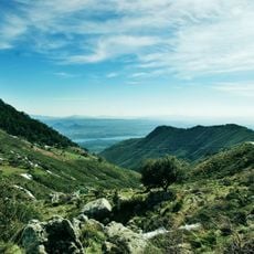
The Chiffa valley within these mountains provides shelter for a small population of Barbary macaques, primates found nowhere else in Africa north of the Sahara. The valley has deep gorges carved by seasonal water flows that create this rare habitat.
The community of curious travelers
AroundUs brings together thousands of curated places, local tips, and hidden gems, enriched daily by 60,000 contributors worldwide.