Algeria–Morocco border, International border between Algeria and Morocco, North Africa
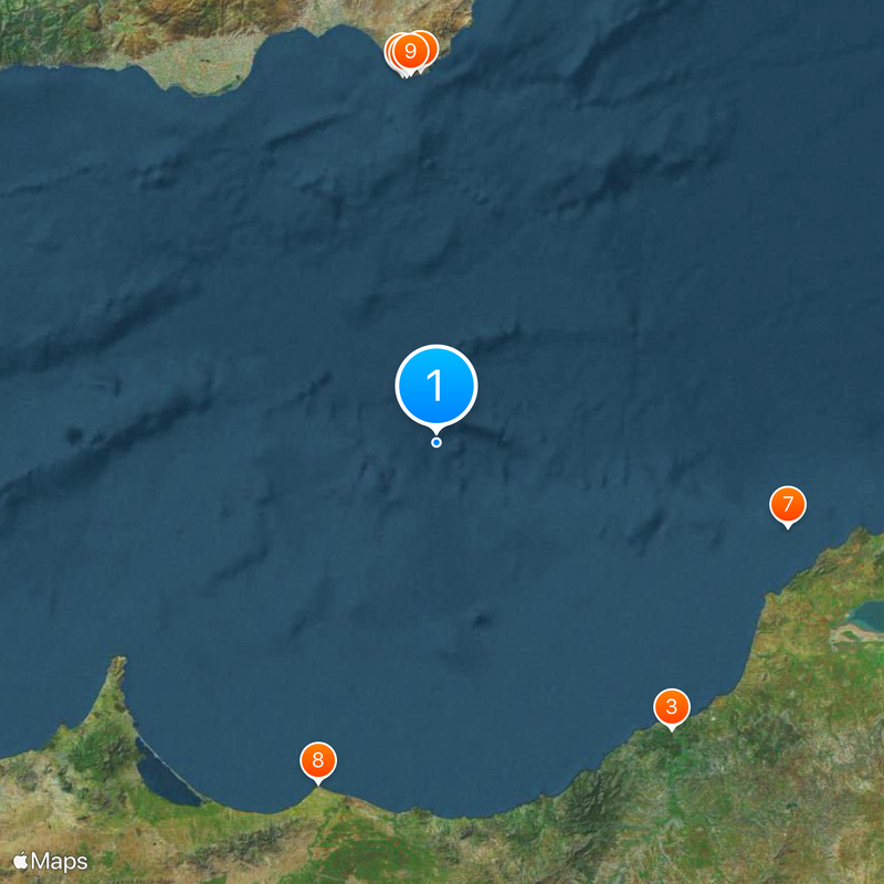
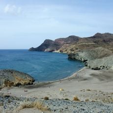
The Algeria-Morocco border extends roughly 1,427 kilometers from the Mediterranean coast to the tri-border point near Western Sahara. The line crosses through mountain ranges and desert regions along its entire length.
The Treaty of Lalla Marnia in 1845 first defined the boundary between French-controlled Algeria and independent Morocco. This agreement reflected the power dynamics of the colonial period in North Africa.
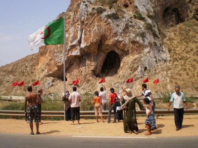
The border divides communities that speak the same languages and share similar ways of life. People on both sides have relatives and inherited customs that were interrupted by the closure.
Land crossings have been closed since 1994, so travelers must use air or sea routes between the two countries. Check entry requirements from your home country for both nations before booking any travel.
The Draa River forms a natural section of the border and serves as a geographical marker before the line turns northward. This water boundary creates a visible physical separation between the two nations.
The community of curious travelers
AroundUs brings together thousands of curated places, local tips, and hidden gems, enriched daily by 60,000 contributors worldwide.