
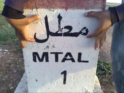
M'Tal, rural commune in Morocco
Location: Sidi Bennour Province
Location: El Jadida Province
GPS coordinates: 32.49083,-8.37806
Latest update: March 8, 2025 00:44
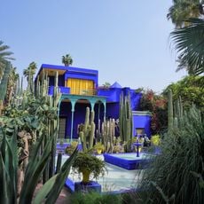
Majorelle Garden
101 km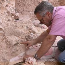
Jebel Irhoud
84.7 km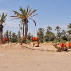
Palmeraie
97.8 km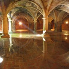
Portuguese cistern
86.1 km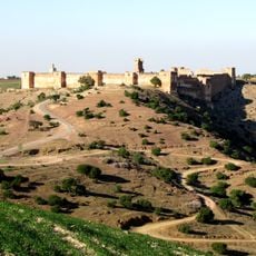
Kasbah Boulaouane
52.8 km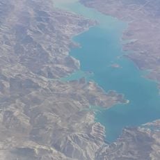
Al Massira Dam
69.6 km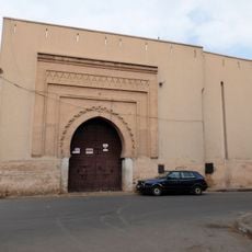
Bab Dukkala
101.9 km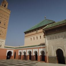
Sidi Bel Abbes Zawiya
101.6 km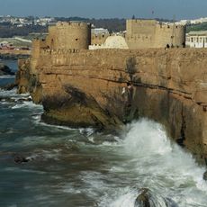
Sea Castle
84.2 km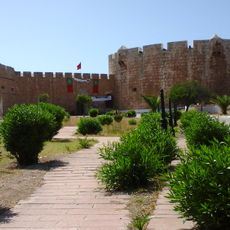
Dar Soltane
83.5 km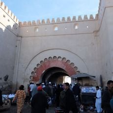
Bab El Khemis (Marrakech)
101.6 km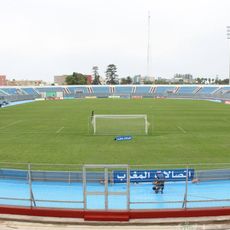
Stade El Abdi
84.3 km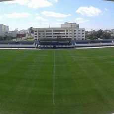
Stade El Massira
82.8 km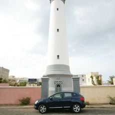
Sidi Bou Afi Lighthouse
85.5 km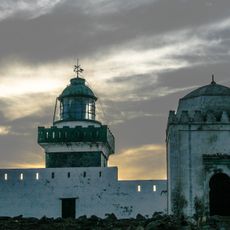
Cape Beddouza Lighthouse
85.2 km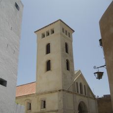
Church of Saint-Bernard
85 km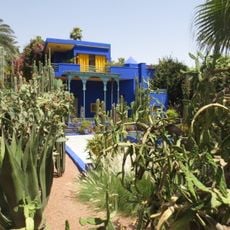
Berber Museum
100.9 km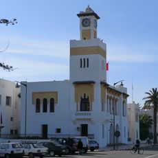
El Jadida Museum
85.5 km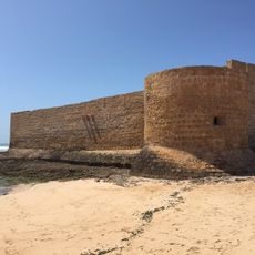
Castle Souira Qedima
103 km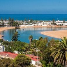
El Oualidia Plage شاطئ الوالدية
67.8 km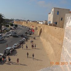
Bastion of Holy Spirit
85.9 km
Comptoir des Mines Galerie
101.4 km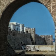
Safi Medina
84 km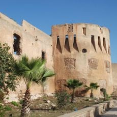
Kasbah Dar Baroud
89.3 km
Salle des fêtes OCP
30.5 km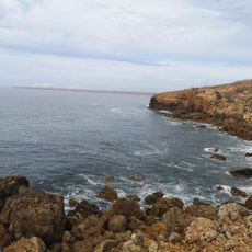
Faryat
81.2 km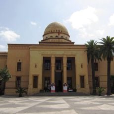
Royal Theatre
101.8 km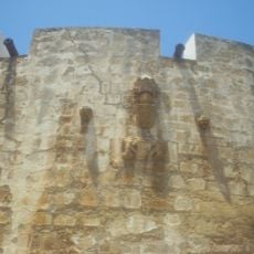
Land Castle
83.5 kmReviews
Visited this place? Tap the stars to rate it and share your experience / photos with the community! Try now! You can cancel it anytime.
Discover hidden gems everywhere you go!
From secret cafés to breathtaking viewpoints, skip the crowded tourist spots and find places that match your style. Our app makes it easy with voice search, smart filtering, route optimization, and insider tips from travelers worldwide. Download now for the complete mobile experience.

A unique approach to discovering new places❞
— Le Figaro
All the places worth exploring❞
— France Info
A tailor-made excursion in just a few clicks❞
— 20 Minutes