
Cmiljeva Glava, subpeak of Crna Glava, Bjelasica range, Dinaric Alps, Montenegro
Location: Berane Municipality
Elevation above the sea: 1,950 m
GPS coordinates: 42.86582,19.71850
Latest update: June 2, 2025 21:57
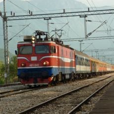
Belgrade–Bar railway
18.4 km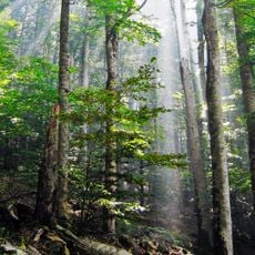
Biogradska Gora
10.2 km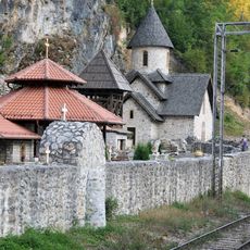
Kumanica Monastery
32.1 km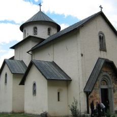
Morača
28.8 km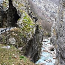
Rugova Canyon
41.5 km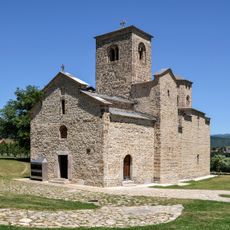
Đurđevi Stupovi
11.7 km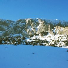
Hajla
36.4 km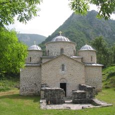
Davidovica Monastery
41.6 km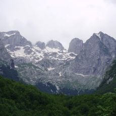
Prokletije National Park
40.5 km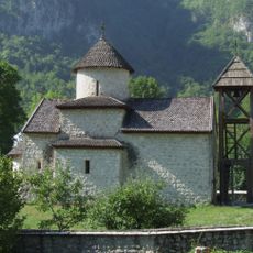
Dobrilovina Monastery
31.5 km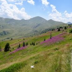
Dog Peak
41.8 km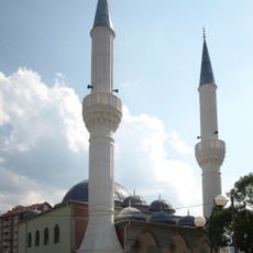
Sultan Murat II Mosque
36.7 km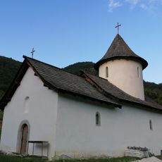
Dovolja Monastery
40 km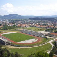
Gradski stadion
12.3 km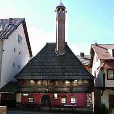
Kučanska Mosque
36.9 km
Hum
34.7 km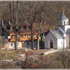
Manastir Šudikova
12.4 km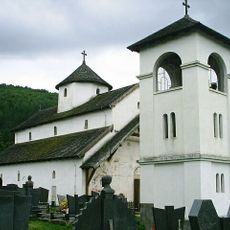
Никольская церковь (Биело-Поле)
18 km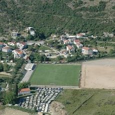
Stadion Solila
12.3 km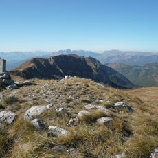
Ključ
9.5 km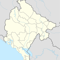
Seošnica
32.9 km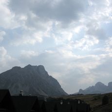
Kučki Kom
21.6 km
Spomen dom
16.9 km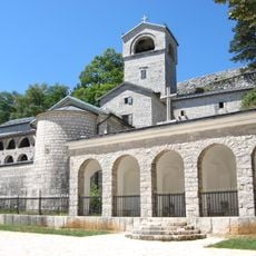
Royal Tomb in Cetinje
30 km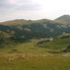
Crna Glava
1.7 km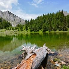
National park Bjeshkët e Nemuna
42.8 km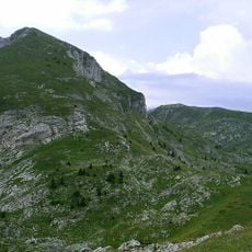
Bandera (Krivi smet)
31.6 km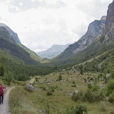
Ropojona Valley
41.3 kmReviews
Visited this place? Tap the stars to rate it and share your experience / photos with the community! Try now! You can cancel it anytime.
Discover hidden gems everywhere you go!
From secret cafés to breathtaking viewpoints, skip the crowded tourist spots and find places that match your style. Our app makes it easy with voice search, smart filtering, route optimization, and insider tips from travelers worldwide. Download now for the complete mobile experience.

A unique approach to discovering new places❞
— Le Figaro
All the places worth exploring❞
— France Info
A tailor-made excursion in just a few clicks❞
— 20 Minutes