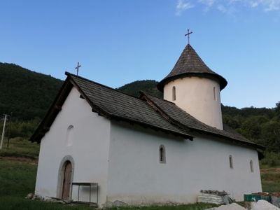
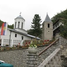
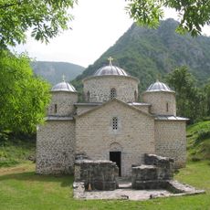
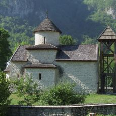
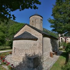
Dovolja Monastery, Serbian Orthodox monastery in Premćani, Montenegro.
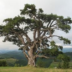
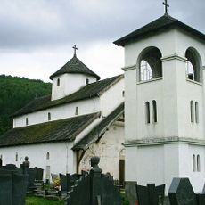
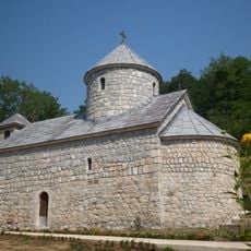
Dovolja Monastery sits on the right bank of the Tara River and displays the distinctive architecture of the Raška school, built with stone and wood construction. The buildings form a compact complex that fits into the natural landscape of the river valley.
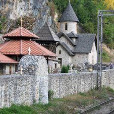
The monastery was first documented in the 16th century, though its origins may be older. It grew into a religious center within a region that experienced significant upheaval during medieval times and beyond.
The monastery remains an active place of prayer and religious practice for the local Serbian Orthodox community. Visitors can observe daily rituals and experience the living connection to faith traditions that have been maintained for centuries.
Access is through marked paths leading to the village of Premćani, from which the monastery can be reached. Wear sturdy footwear as the way to the site involves uneven terrain, and weather conditions can affect accessibility.
The monastery once held the relics of a high-ranking church leader whose remains were later moved elsewhere. This transfer in the late 17th century reflects the religious shifts happening across the region during that turbulent era.
The community of curious travelers
AroundUs brings together thousands of curated places, local tips, and hidden gems, enriched daily by 60,000 contributors worldwide.