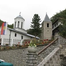
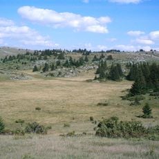
Kamena Gora, Mountain landscape in Prijepolje, Serbia.
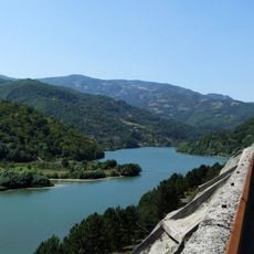
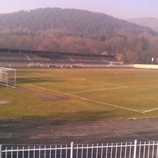
Kamena Gora is a mountain landscape in Prijepolje with its peak Ravna Gora rising to 1,496 meters as part of the Dinaric range. The terrain features deep gorges, thick forests, and open meadows forming the natural border between Serbia and Montenegro.
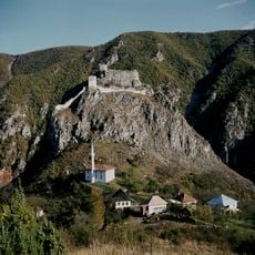
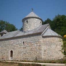
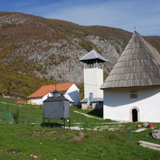
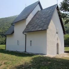
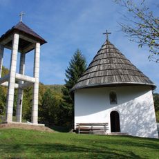
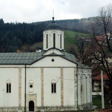
The area was long home to traditional mountain dwellers who adapted to the harsh environment. In 2014, the Serbian government recognized its importance by designating it as a protected landscape.
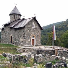
The village of Kamena Gora shows visitors traditional ways of living in the mountains, with residents sharing their local customs. The place reflects how daily life is shaped in this mountain region.
Visitors reach the area via marked routes from Nova Varos or Prijepolje that provide access to hiking trails and natural springs. It helps to bring sturdy shoes and water to handle the changing conditions of the mountain terrain.
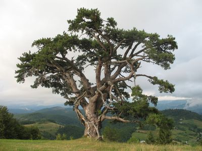
The mountain is home to a black pine tree roughly 500 years old known as Sveti bor. The tree stands out for its age and size in this mountain region.
GPS coordinates: 43.31104,19.53566
Latest update: December 14, 2025 11:03
Mileševa monastery
13.4 km
Đurđevića Tara Bridge
26.5 km
White Angel
15.6 km
Kumanica Monastery
26.6 km
Holy Trinity monastery
15.8 km
Banja Monastery
25.9 km
Davidovica Monastery
18.2 km
Memorial complex Boško Buha
5.5 km
Husein-paša's Mosque
15.2 km
Potpeć Lake
23 km
Mileševac Fortress
16.7 km
Mažići Monastery
21.9 km
Gradski stadion
15.2 km
Dovolja Monastery
25.1 km
Janja Monastery
26.3 km
Kovin Fortress
17.8 km
Đurđevića Tara Monastery
25.8 km
Heritage Museum Pljevlja
15.2 km
Church of the Holy Trinity in Bistrica
22.6 km
Church of St. Michael the Archangel in Poblaće
26 km
Library „Vuk Karadžić“ Prijepolje
12.8 km
Outstanding Natural Landscape "Ozren – Jadovnik"
20.9 km
Church of the Intercession of the Virgin in Hercegovačka Goleša
24.4 km
Partizanska bolnica u Prijepolju
9.8 kmMaison de Tomislav Bošković à Radoinja
28.4 km
Église de la Sainte-Trinité de Nova Varoš
27.4 km
Grčko groblje, Hrta
7.3 kmCrni Vrh (tumoy sa bukid sa Serbya, lat 43,33, long 19,51)
2.5 kmVisited this place? Tap the stars to rate it and share your experience / photos with the community! Try now! You can cancel it anytime.
Discover hidden gems everywhere you go!
From secret cafés to breathtaking viewpoints, skip the crowded tourist spots and find places that match your style. Our app makes it easy with voice search, smart filtering, route optimization, and insider tips from travelers worldwide. Download now for the complete mobile experience.
A unique approach to discovering new places❞
— Le Figaro
All the places worth exploring❞
— France Info
A tailor-made excursion in just a few clicks❞
— 20 Minutes