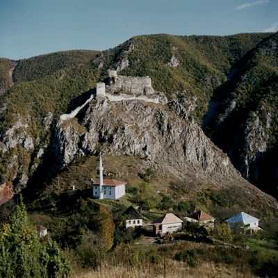
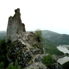
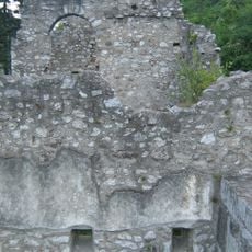
Mileševac Fortress, Medieval stone fortress near Prijepolje, Serbia
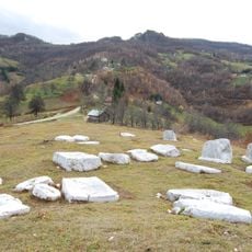
Mileševac Fortress rises on a massive rock formation with steep cliffs, featuring a central citadel, several square towers, and defensive walls that connect these structures together. The stone construction uses the natural landscape to create strong defensive positions overlooking the surrounding valley.
The fortress was first documented in 1444 as a defensive stronghold protecting the region. After Ottoman forces captured it in 1465, it became a military garrison and marked a shift in regional control.
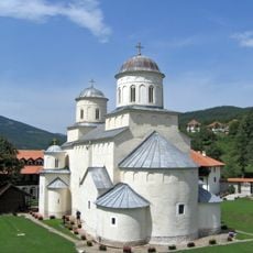
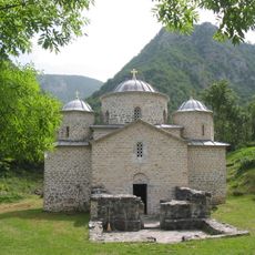
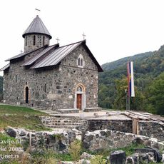
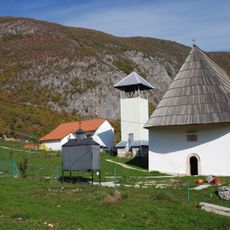
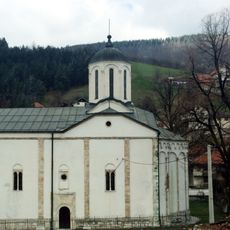
The nearby Mileševa Monastery contains medieval Serbian frescoes that reflect Byzantine artistic traditions and spiritual devotion. These wall paintings show scenes that held deep meaning for the local community throughout centuries.
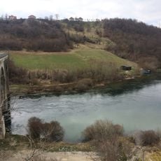
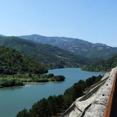
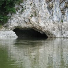
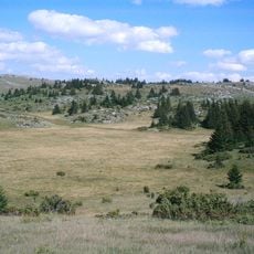
The fortress sits roughly 7 kilometers east of Prijepolje and can be reached by marked hiking trails that pass through the canyon of the Mileševka River. Visitors should wear proper hiking shoes and be prepared for uneven ground and steep paths.
The rock formation creates natural cliffs on three sides - east, north, and west - providing extra defensive advantages to the structure. This arrangement gave defenders sightlines in multiple directions at once, making the location extremely valuable for control of the area.
The community of curious travelers
AroundUs brings together thousands of curated places, local tips, and hidden gems, enriched daily by 60,000 contributors worldwide.