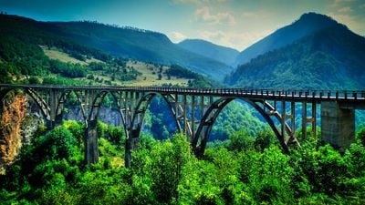
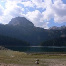
Đurđevića Tara Bridge, Concrete arch bridge near Žabljak, Montenegro
The Đurđevića Tara Bridge is a concrete arch bridge crossing the Tara River in northern Montenegro. The roadway runs on five arches, with the central arch spanning the entire gorge in a single sweep and standing 150 meters above the riverbed.
Engineer Mijat Trojanović designed the bridge between 1937 and 1940 under the Kingdom of Yugoslavia. During the Second World War, partisans demolished one arch to slow the advance, and repairs were completed only in 1946.
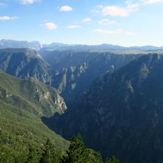
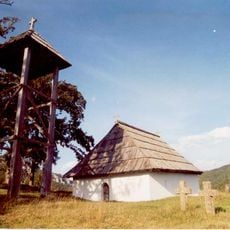
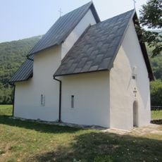
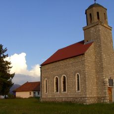
The name comes from an Orthodox church dedicated to Saint George that once stood near the bridge site. Today the structure stands as a symbol of engineering skill in the region and remains a place where travelers pause to look down into the depths.
The bridge links roads between Pljevlja, Mojkovac, and Žabljak and remains open to traffic year-round. On the northern side, there is a small parking area and viewpoints from which you can take in the entire structure.
Bungee jumps can be attempted from the central arch, ending directly above the green river water. Film scenes from the Yugoslav production „Most
The community of curious travelers
AroundUs brings together thousands of curated places, local tips, and hidden gems, enriched daily by 60,000 contributors worldwide.