Enewetak Atoll

Log in to your account

AroundUs is a community-driven map of interesting places, built by curious explorers like you. It grows with every review, story, and photo you share.
Connect to save your favorite spots, contribute locations, and create personalized routes.
Continue with Google
Continue with Apple
Continue with X
Continue with Facebook
Continue with email
By continuing, you accept our Terms and Conditions and our Privacy Policy
Create an account
Add to collection
Map
Suggest a change
Share

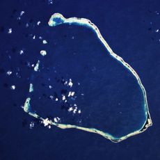
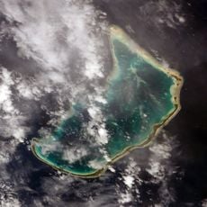
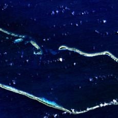
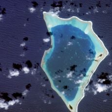
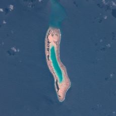
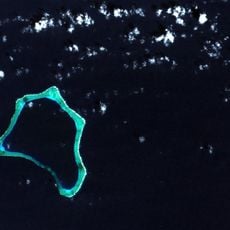
Enewetak Atoll, Nuclear test site atoll in Marshall Islands

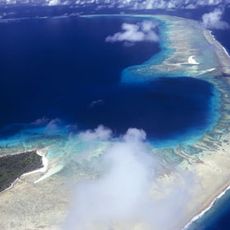
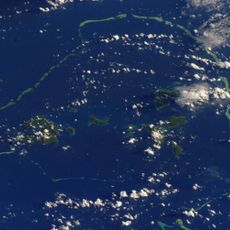
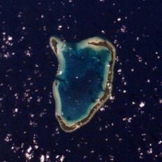
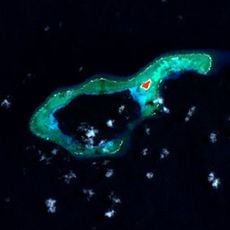
Enewetak forms a ring of roughly 40 small islands in the northern Pacific, enclosing a central lagoon. The combined land area covers just under 2 square miles (6 square kilometers), while the lagoon spreads over more than 380 square miles (1000 square kilometers).

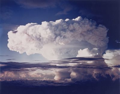
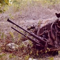
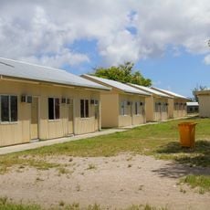
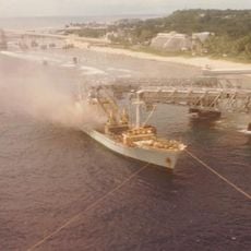
The United States conducted atomic weapons tests on the atoll between 1948 and 1958, after removing the local population. A decontamination effort later allowed some original residents to return starting in 1980.

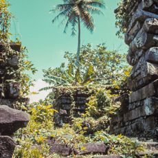
The native population maintained traditional fishing and navigation practices until their forced evacuation in 1946 for nuclear testing programs.

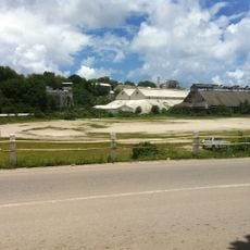
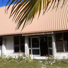
The local elementary school on the atoll serves younger children, while secondary students transfer to the main island of Majuro. Access to the area remains restricted due to lingering contamination on some islands.

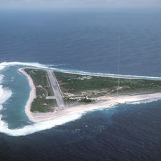
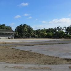
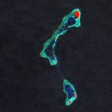
A concrete dome on Runit Island covers contaminated material from past tests and was built in the late 1970s. The structure rises about 25 feet (8 meters) above the flat landscape and now forms an unusual landmark on the atoll.

Location: Marshall Islands

Elevation above the sea: 5 m

Part of: Ralik Chain

GPS coordinates: 11.50000,162.33333

Latest update: December 12, 2025 23:42

Photos
Reviews

Visited this place? Tap the stars to rate it and share your experience / photos with the community! Try now! You can cancel it anytime.

« Enewetak Atoll - Nuclear test site atoll in Marshall Islands » is provided by Around Us (aroundus.com). Images and texts are derived from Wikimedia project under a Creative Commons license. You are allowed to copy, distribute, and modify copies of this page, under the conditions set by the license, as long as this note is clearly visible.

Discover hidden gems everywhere you go!

From secret cafés to breathtaking viewpoints, skip the crowded tourist spots and find places that match your style. Our app makes it easy with voice search, smart filtering, route optimization, and insider tips from travelers worldwide. Download now for the complete mobile experience.

Around Us App Screenshot

A unique approach to discovering new places

Le Figaro

All the places worth exploring

France Info

A tailor-made excursion in just a few clicks

20 Minutes