Siby, commune of Mali
Location: Koulikoro Region
Elevation above the sea: 365 m
GPS coordinates: 12.37556,-8.33500
Latest update: March 11, 2025 12:08
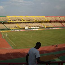
Stade du 26 Mars
51.6 km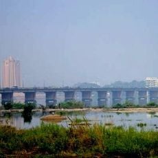
Martyrs Bridge
46.8 km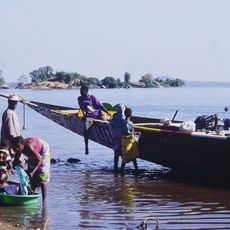
Sélingué Dam
82.9 km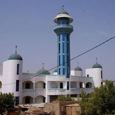
Bamako Grand Mosque
47.9 km
Grand Marché
47.4 km
King Fahd Bridge
45.3 km
Boucle du Baoulé National Park
199.2 km
BCEAO Tower
46.4 km
Palais de la Culture Amadou Hampaté Ba
46.6 km
Lake Sélingué
85.2 km
National Library of Mali
45 km
Zoo Bamako
48.6 km
Mine de Siguiri
143.5 km
Lake Manantali
234.9 km
Museo Nacional
48.2 km
Kamablon of Kangaba
49 km
Ba Sounou Sacko mosque
243.2 km
Jardin du cinquantenaire
47.4 km
Monument of Independence
46.2 km
Cathedral of the Sacred Heart of Bamako
47.1 km
Monument de la paix
45.3 km
Biton Coulibaly palace
243.3 km
Simbalo
206.5 km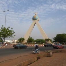
Peace Monument
45.3 km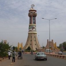
Tower of Africa
48.5 km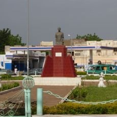
Abdoul Karim Camara
43.5 km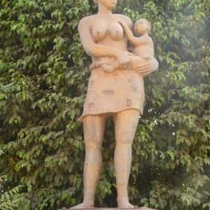
Statue of the Maternity
48.8 km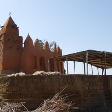
Old mosque in Segoukoro
243.2 kmVisited this place? Tap the stars to rate it and share your experience / photos with the community! Try now! You can cancel it anytime.
Discover hidden gems everywhere you go!
From secret cafés to breathtaking viewpoints, skip the crowded tourist spots and find places that match your style. Our app makes it easy with voice search, smart filtering, route optimization, and insider tips from travelers worldwide. Download now for the complete mobile experience.

A unique approach to discovering new places❞
— Le Figaro
All the places worth exploring❞
— France Info
A tailor-made excursion in just a few clicks❞
— 20 Minutes