Loikaw District, district of Kayah State in Myanmar
Location: Kayah State
Elevation above the sea: 690 m
GPS coordinates: 19.48333,97.33333
Latest update: March 8, 2025 04:05
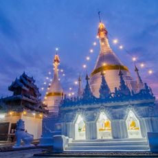
Wat Phra That Doi Kong Mu
68.9 km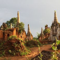
Shwe Indein Pagoda
120.1 km
Tham Lod Cave
99.6 km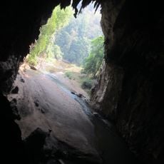
Tham Lot
99.5 km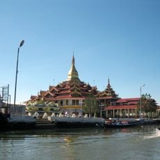
Hpaung Daw U Pagoda
119.8 km
Naypyidaw Zoological Gardens
120.6 km
တောင်ကွဲစေတီတော်
24.4 km
Wat Chong Kham
69.7 km
Naypyidaw Safari Park
121.1 km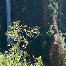
Namtok Mae Surin National Park
82.8 km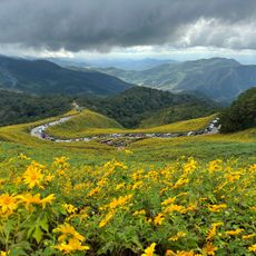
Thung Bua Tong Forest Park
103.1 km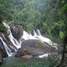
Tham Pla - Namtok Pha Suea National Park
70.7 km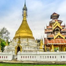
Wat To Phae
96.8 km
Kayah State Cultural Museum
26.7 km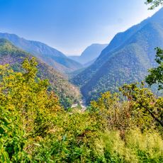
Pha Bong Viewpoint
77.2 km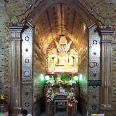
Myazigon Pagoda
112.3 km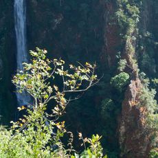
Mae Surin Falls
98.3 km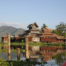
Nga Phe Kyaung Monastery
123.8 km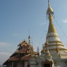
Wat Hua Wiang
69.4 km
Wat Kam Ko
69.4 km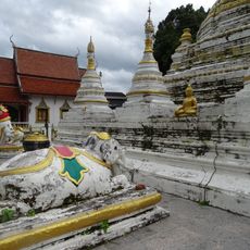
Wat Luang
116.8 km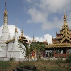
Inn Paw Khon
116.5 km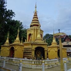
Wat Klang
117.3 km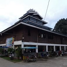
Wat Pa Kham
117.4 km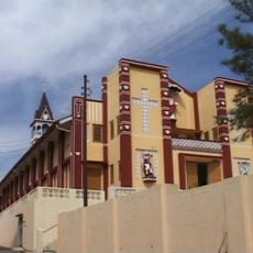
Sacred Heart Cathedral of Taungngu
111.3 km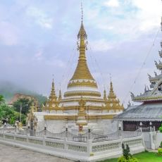
Wat Chong Klang
69.7 km
Mae Hong Son
72.9 km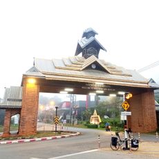
Mae Hong Son Gate
69.5 kmVisited this place? Tap the stars to rate it and share your experience / photos with the community! Try now! You can cancel it anytime.
Discover hidden gems everywhere you go!
From secret cafés to breathtaking viewpoints, skip the crowded tourist spots and find places that match your style. Our app makes it easy with voice search, smart filtering, route optimization, and insider tips from travelers worldwide. Download now for the complete mobile experience.

A unique approach to discovering new places❞
— Le Figaro
All the places worth exploring❞
— France Info
A tailor-made excursion in just a few clicks❞
— 20 Minutes