Manikata, town
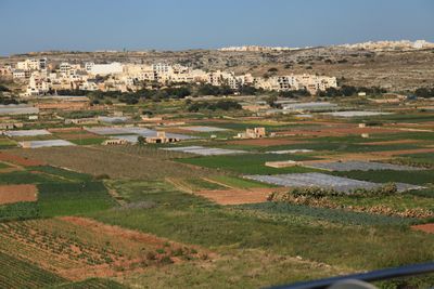
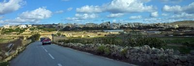
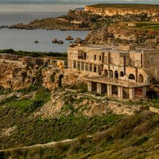
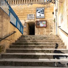
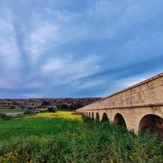
Manikata is a small settlement in northwestern Malta that overlooks fertile valleys with cultivated farmland. The village consists of simple houses and modern villas scattered along quiet roads, many with views over surrounding green spaces or the sea.
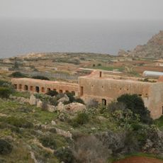
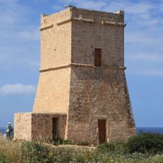
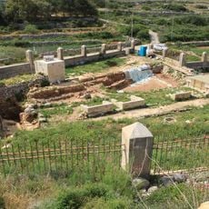
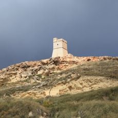
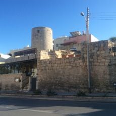
The settlement dates back to the Bronze Age, as shown by ancient cart ruts and stone walls still visible today. During Roman times, baths and tombs were built in the area, followed by the construction of the Għajn Tuffieħa Tower in 1637 by the Knights of Malta to protect the coast.
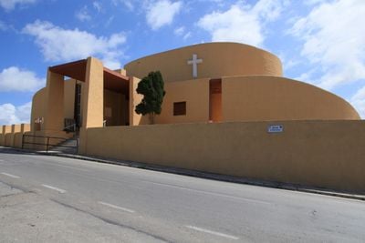
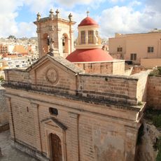
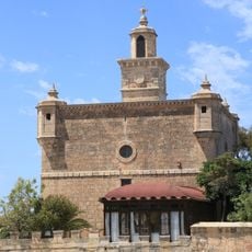
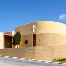
The name Manikata means 'Apple's Spring' and reflects the village's farming heritage still visible in the surrounding fields today. The community gathers every year on the last Sunday of August to celebrate St Joseph's feast with processions and local crafts, with the church serving as the heart of village life.
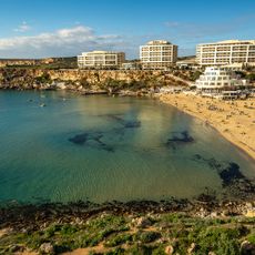
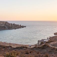
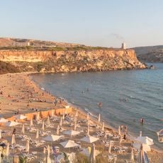
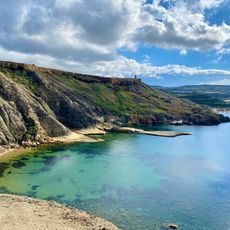
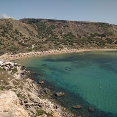
The village is easily accessible with simple paths through the settlement and to nearby Għajn Tuffieħa and Golden Bay beaches. The terrain is manageable and well-marked, making walking and exploring comfortable and offering good options for relaxed day visits.
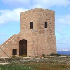
A rare relic from World War Two is the pillbox near Għajn Tuffieħa, a small concrete defensive structure built in the 1930s that remains the last of its kind in Malta. This military remnant tells the story of wartime years when residents sought shelter in caves and Roman tombs.
The community of curious travelers
AroundUs brings together thousands of curated places, local tips, and hidden gems, enriched daily by 60,000 contributors worldwide.