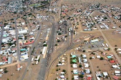
Keetmanshoop, a city of Namibia
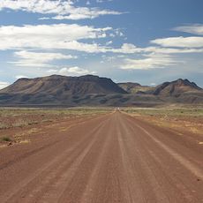
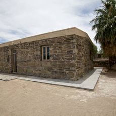
Keetmanshoop is a city in southern Namibia with simple buildings made from local materials and a relaxed pace of life. The streets are quiet and unhurried, with people going about their daily routines in a calm manner.
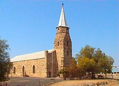
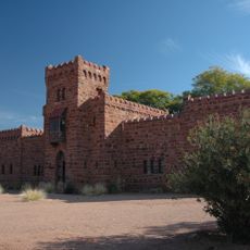
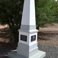
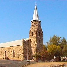
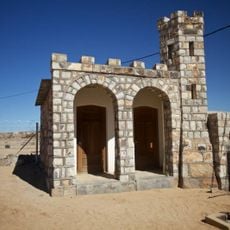
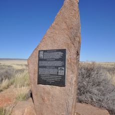
The city was founded in the late 19th century and was originally called Modderfontein because springs provided water in the desert. A German mission group arrived in 1860, and the Rhenish Mission Church from that era still stands as a landmark today.
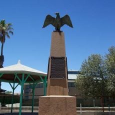
The name Keetmanshoop honors a German businessman whose early support shaped the town's founding and remains visible in its architecture. Walking through the streets reveals a peaceful coexistence of cultures, where German, Afrikaans, and local languages are spoken in everyday life.
Walking around is easy since the streets are manageable and you can reach everything on foot. Visitors should bring water and sun protection, as the sun is intense during the day and shade is limited.
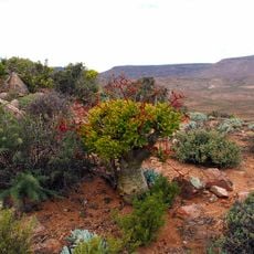
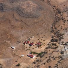
A small distillery near Naute Dam produces local spirits with unusual flavors such as herbal gin. You can stop by for tastings and experience the quiet craftsmanship away from the town streets.
The community of curious travelers
AroundUs brings together thousands of curated places, local tips, and hidden gems, enriched daily by 60,000 contributors worldwide.