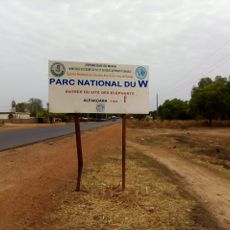
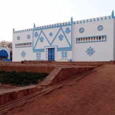
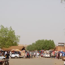
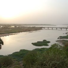
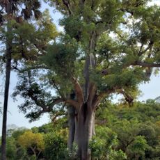
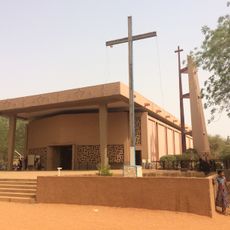
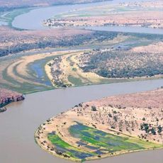
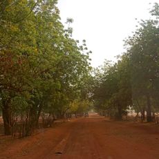
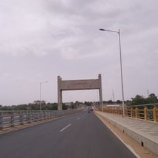
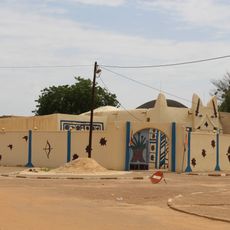
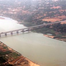
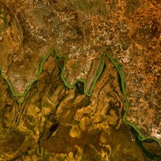
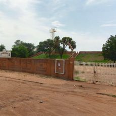
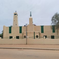
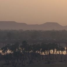
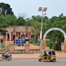
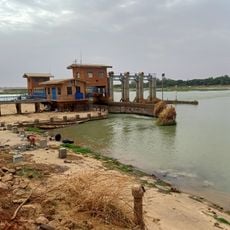
Tamou, rural commune in Niger
Location: Say Department
Elevation above the sea: 232 m
GPS coordinates: 12.75556,2.17694
Latest update: April 2, 2025 01:34
W National Park
91.1 km
W National Park of Benin
110 km
Musée National Boubou Hama
84.5 km
Niamey Grand Mosque
85.5 km
Niamey Grand Market
84.9 km
Kennedy Bridge
83.8 km
Lété Island
104.2 km
Our Lady of Perpetual Help Cathedral
85.2 km
Dosso Reserve
49.1 km
Tamou Reserve
22.2 km
General Seyni Kountché Bridge
85.9 km
Palais du Zarmakoye
115.3 km
China-Niger Friendship Bridge
82.3 km
W National Park of Niger
48.9 km
Centre Culturel Franco-Nigérien Jean Rouch
84.7 km
Petit Marché
84.7 km
Centre Culturel Oumarou Ganda
85.4 km
Dosso Grand Mosque
115.4 km
Trois Sœurs
83.4 km
Regional Museum "Djermakoye"
115.4 km
Kouré Reserve
87.2 km
American Center
85.4 km
Kiota Grand Mosque
103.6 km
Palais du 29 Juillet
86 km
Grotte des Hyènes
88.2 km
Village d'Artisanal Wadata
84.4 km
Niamey City Hall
84.7 km
Goudel Barrage
85.7 kmReviews
Visited this place? Tap the stars to rate it and share your experience / photos with the community! Try now! You can cancel it anytime.
Discover hidden gems everywhere you go!
From secret cafés to breathtaking viewpoints, skip the crowded tourist spots and find places that match your style. Our app makes it easy with voice search, smart filtering, route optimization, and insider tips from travelers worldwide. Download now for the complete mobile experience.
A unique approach to discovering new places❞
— Le Figaro
All the places worth exploring❞
— France Info
A tailor-made excursion in just a few clicks❞
— 20 Minutes